
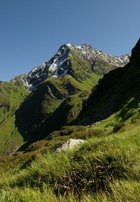
Mittagsjoch, mountain in the Verwall in Vorarlberg
Location: Silbertal
Elevation above the sea: 2,362 m
GPS coordinates: 47.07155,9.99774
Latest update: April 7, 2025 10:29
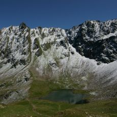
Hochjoch
2.8 km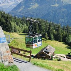
Kristbergbahn
2.9 km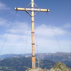
Kreuzjoch
2.1 km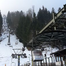
Kapellbahn
3.5 km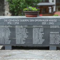
Kriegerdenkmal Silbertal
3 km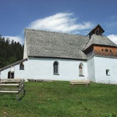
Kristbergkirche
4.2 km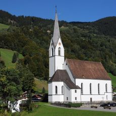
Pfarrkirche Silbertal
3 km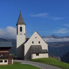
Kuratienkirche Innerberg
5.2 km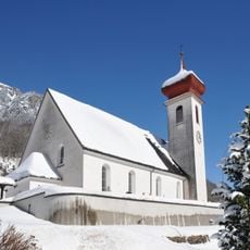
Pfarrkirche hl. Oswald und Friedhof, Dalaas
5.9 km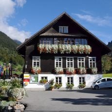
Montafoner Bergbaumuseum Silbertal
3 km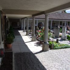
Schruns Friedhof
5.8 km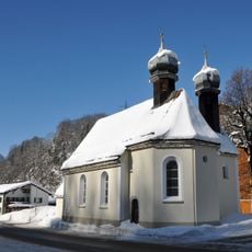
Kirche hl. Kreuz, Dalaas
5.7 km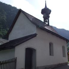
St Gallenkirch Kapelle Mariahilf
5.5 km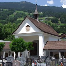
Schruns Friedhofkapelle
5.8 km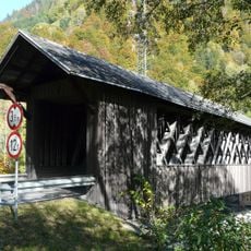
Holzbrücke Tschagguns
4.9 km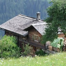
Bartholomäberg Wohnhaus Glänweg 10
4.8 km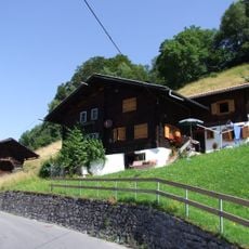
Schruns Gamplaschgerweg 42 u 44 Gehöft
4.4 km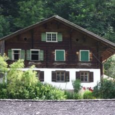
St Gallenkirch 70 Gehöft
5.4 km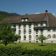
Josefsheim Schruns
5.8 km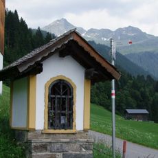
Silbertal Bildstock 88326
2.4 km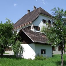
Schruns Bezirksgericht
5.9 km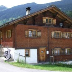
Silbertal Wohnhaus Matta 11
3.1 km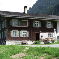
Former rectory Silbertal
2.9 km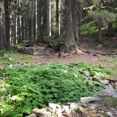
Einsiedelei, Bruderhüsle, Ruine Eckhartsklause
4.5 km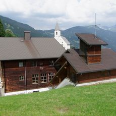
Bartholomäberg Volksschule Innerberg
5.2 km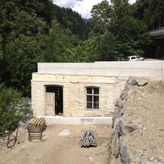
Schruns Litzkraftwerk
5.5 km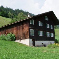
Bartholomäberg Wohnhaus Mühleweg 4
5.2 km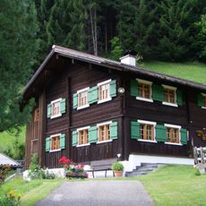
Bürgerhaus, Wohnhaus
3.1 kmReviews
Visited this place? Tap the stars to rate it and share your experience / photos with the community! Try now! You can cancel it anytime.
Discover hidden gems everywhere you go!
From secret cafés to breathtaking viewpoints, skip the crowded tourist spots and find places that match your style. Our app makes it easy with voice search, smart filtering, route optimization, and insider tips from travelers worldwide. Download now for the complete mobile experience.

A unique approach to discovering new places❞
— Le Figaro
All the places worth exploring❞
— France Info
A tailor-made excursion in just a few clicks❞
— 20 Minutes