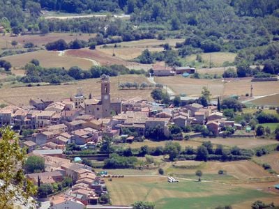
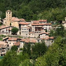
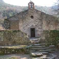
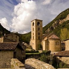
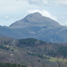
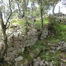
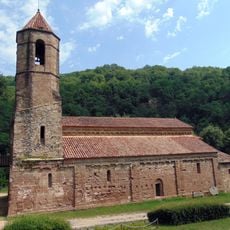
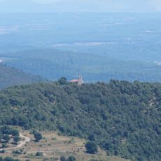
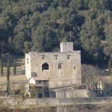
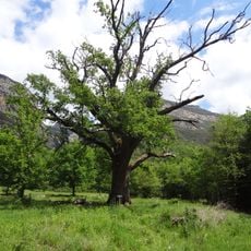
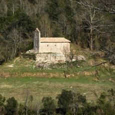
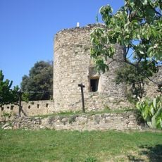
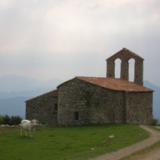
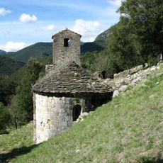
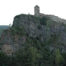
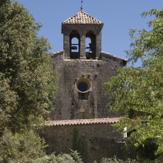
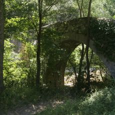
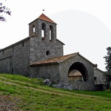
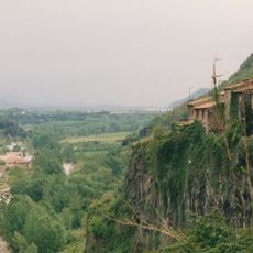
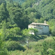
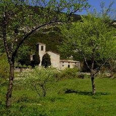
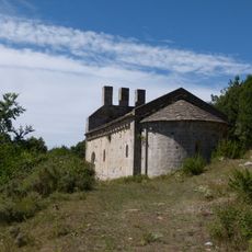
Montagut i Oix, municipality in the province of Girona and autonomous community of Catalonia, Spain
Location: Garrotxa
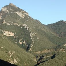
Elevation above the sea: 276 m
Shares border with: Albanyà, Sales de Llierca, Tortellà, Argelaguer, Sant Jaume de Llierca, Sant Joan les Fonts, Castellfollit de la Roca, La Vall de Bianya, Camprodon, Lamanère
Website: http://montagut-oix.cat
GPS coordinates: 42.23131,2.59549
Latest update: March 14, 2025 09:41
Beget
13.4 km
Puig de Bassegoda
9.5 km
Pont de Llierca
1.9 km
Sant Aniol d'Agulla
9.5 km
Sant Cristòfol de Beget
13.8 km
Comanegra
12.6 km
Castell de Bestracà
9.6 km
Monestir de Sant Joan les Fonts
6.8 km
Santa Bàrbara de Pruneres
5.8 km
Castell d'Oix
7.1 km
Roures d'Ormoier
9 km
Sant Miquel d'Hortmoier
8.8 km
Església parroquial Sant Joan les Fonts
7.4 km
Castell de Castellfollit de la Roca
3.6 km
Castell de Montagut
1.9 km
Sant Andreu de Gitarriu
6.6 km
Mare de Déu del Cós
1.9 km
Santa Maria d'Escales
6.8 km
Cinglera de Castellfollit
3.7 km
Santa Cecília de Sadernes
4.3 km
Casa Juvinyà
7.6 km
Sant Eudald de Jou
2.6 km
Pont d'en Valentí
6.1 km
Sant Grau d'Entreperes
5.4 km
Església vella de Castellfollit de la Roca
3.7 km
Ermita del Remei (Camprodon)
13.6 km
Church of Saint Martin
8 km
Sant Andreu de Bestracà
9.3 kmReviews
Visited this place? Tap the stars to rate it and share your experience / photos with the community! Try now! You can cancel it anytime.
Discover hidden gems everywhere you go!
From secret cafés to breathtaking viewpoints, skip the crowded tourist spots and find places that match your style. Our app makes it easy with voice search, smart filtering, route optimization, and insider tips from travelers worldwide. Download now for the complete mobile experience.
A unique approach to discovering new places❞
— Le Figaro
All the places worth exploring❞
— France Info
A tailor-made excursion in just a few clicks❞
— 20 Minutes