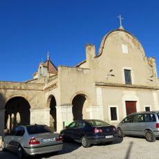
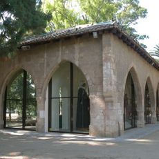
Tortosa, Municipality and administrative center in Baix Ebre, Spain
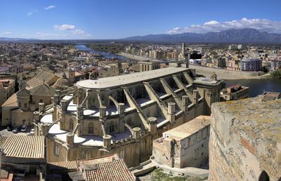
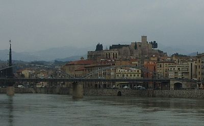
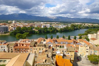
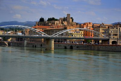
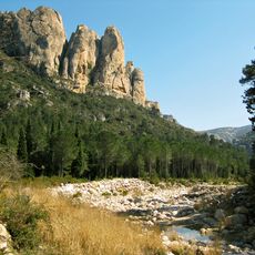
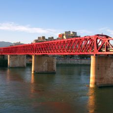
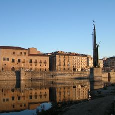
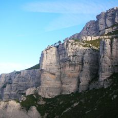
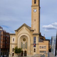
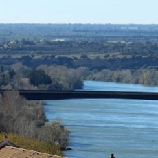
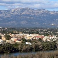
Tortosa is a municipality and administrative center in Baix Ebre, Catalonia, Spain, spreading along both banks of the Ebro River between the Els Ports massif and the Cardó mountain range at around 12 meters elevation. The municipality includes several outlying districts such as Bítem, Campredó, and Jesús, with administrative services gathered in the main town.
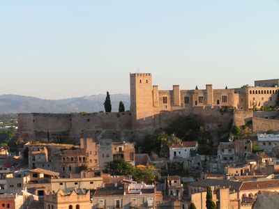
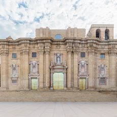
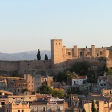
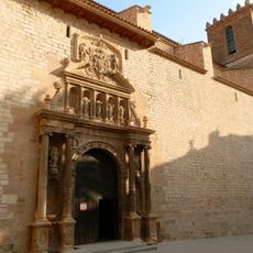
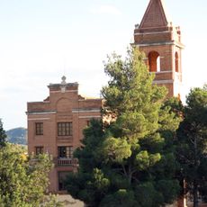
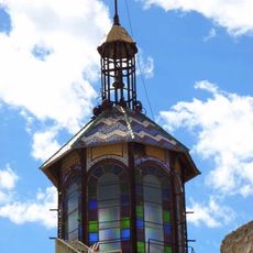
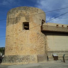
The settlement was founded by the Iberians as Dertosa and gained colonial status under Emperor Augustus, becoming Colonia Iulia Augusta Dertosa. During the Middle Ages, control changed hands several times until Catalan forces captured the town in the 12th century, bringing it into the Crown of Aragon.
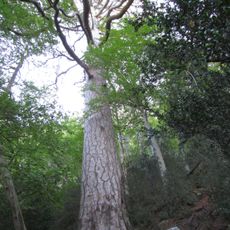
The settlement carries an Iberian name that survived through Roman and Moorish rule, pointing to the long human presence in this river valley. Along the banks, centuries of trade and farming shaped a way of life still visible today in the olive groves that stretch across the surrounding hills.
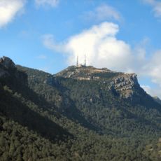
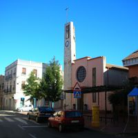
The outlying districts are scattered across the municipal area but connected by roads to the main town, where administrative offices and central services are located. Visitors exploring the area should allow time for drives between the different parts and expect hilly terrain in the surroundings.
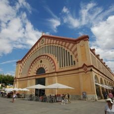
The local economy relies heavily on olive oil production, with groves around the town cultivated for centuries and now among the main sources of income. Alongside farming, industries such as fertilizer, cement, pharmaceutical, and textile manufacturing have also settled here, giving the place a mixed economic character.
The community of curious travelers
AroundUs brings together thousands of curated places, local tips, and hidden gems, enriched daily by 60,000 contributors worldwide.