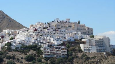
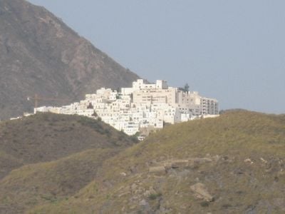
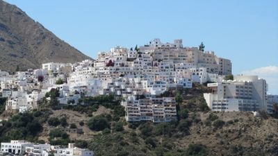
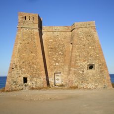
Mojácar, Mountain village and coastal resort in Almería Province, Spain
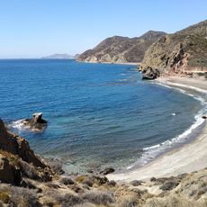
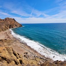
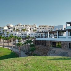
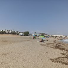
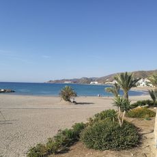
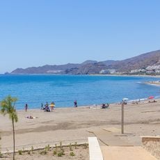
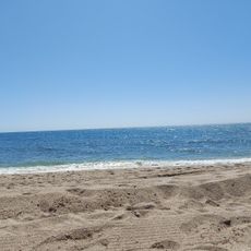
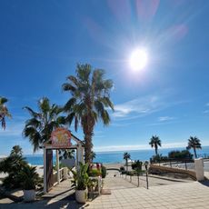
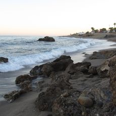
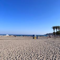
Mojácar comprises two distinct parts: a hilltop village at 152 meters elevation and a waterfront area spreading across 17 kilometers of Mediterranean coast. These two sections offer different landscapes and experiences for visitors exploring the town.
The settlement traces its origins through multiple ancient and medieval cultures, with Greeks calling it Murgis-Akra, Romans naming it Moxacar, and Arabs referring to it as Muxacra before it became known as Mojácar. These naming changes reflect the waves of different peoples who lived in and shaped the area.
The Indalo symbol, discovered in local caves, appears throughout the town on buildings and doorways as a protective emblem rooted in local traditions. You'll notice this figure woven into the visual identity of how residents decorate their spaces.
The town maintains strict building regulations preventing high-rise structures, which helps preserve the appearance of whitewashed houses scattered across the hillside. Walking through the narrow streets feels consistent and orderly due to these rules.
An international artists' residence operates in a 16th-century farmhouse through the Fundación Valparaíso, keeping alive the connection between the place and creative communities. This project draws artists from around the world and contributes to the artistic energy found in the town.
The community of curious travelers
AroundUs brings together thousands of curated places, local tips, and hidden gems, enriched daily by 60,000 contributors worldwide.