Lepe

Log in to your account

AroundUs is a community-driven map of interesting places, built by curious explorers like you. It grows with every review, story, and photo you share.
Connect to save your favorite spots, contribute locations, and create personalized routes.
Continue with Google
Continue with Apple
Continue with X
Continue with Facebook
Continue with email
By continuing, you accept our Terms and Conditions and our Privacy Policy
Create an account
Add to collection
Map
Suggest a change
Share

Lepe, Coastal municipality in southwestern Andalusia, Spain

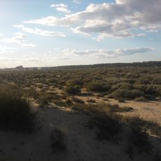
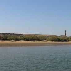
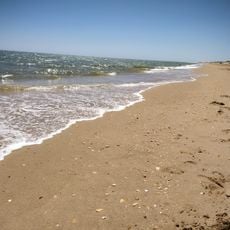
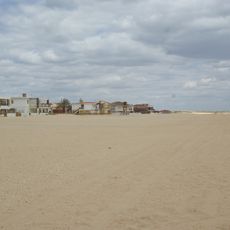
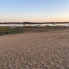
Lepe is a municipality on the Atlantic coast in southwestern Andalusia that stretches along the shoreline with beaches and countryside. The landscape shifts between farmland and wetlands, particularly where the Piedras River meets the sea.

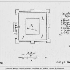
The area fell under Christian control in the 14th century when Doña María Coronel purchased the territory from the Knights Templar, ending the region's earlier period under Arab rule. This transition reshaped how the territory was governed and populated.

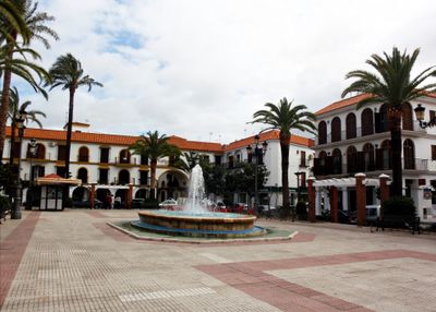
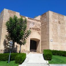
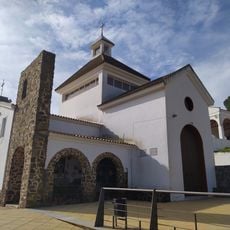
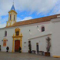
The Parish Church of Santo Domingo de Guzmán shows Mudéjar architectural features and holds the revered Virgen de la Bella statue, which draws pilgrims each May. The church sits at the heart of local religious life and shapes how the town looks and feels.

The town sits on the Quinto Centenario Highway, which connects to larger cities and airports in both directions. This central location makes it straightforward to arrive from elsewhere and travel around the region.

Rodrigo de Triana, a sailor from this town, is often credited as the first European to spot land in the Americas during Columbus's voyage. While this claim remains debated, the connection to this historical discovery has left its mark on how people remember the place.

Location: Province of Huelva

Capital city: Lepe

Elevation above the sea: 18 m

Part of: Ayamonte Notary District, Mancomunitat de Islantilla, Costa Occidental de Huelva

Shares border with: Isla Cristina, Villablanca, Ayamonte, Sanlúcar de Guadiana, Cartaya

Website: http://lepe.es

GPS coordinates: 37.25000,-7.20000

Latest update: December 17, 2025 11:06

Photos
Reviews

Visited this place? Tap the stars to rate it and share your experience / photos with the community! Try now! You can cancel it anytime.

« Lepe - Coastal municipality in southwestern Andalusia, Spain » is provided by Around Us (aroundus.com). Images and texts are derived from Wikimedia project under a Creative Commons license. You are allowed to copy, distribute, and modify copies of this page, under the conditions set by the license, as long as this note is clearly visible.

Discover hidden gems everywhere you go!

From secret cafés to breathtaking viewpoints, skip the crowded tourist spots and find places that match your style. Our app makes it easy with voice search, smart filtering, route optimization, and insider tips from travelers worldwide. Download now for the complete mobile experience.

Around Us App Screenshot

A unique approach to discovering new places

Le Figaro

All the places worth exploring

France Info

A tailor-made excursion in just a few clicks

20 Minutes