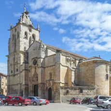
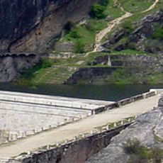
El Atazar Reservoir, Mountain reservoir in Sierra Norte, Spain.
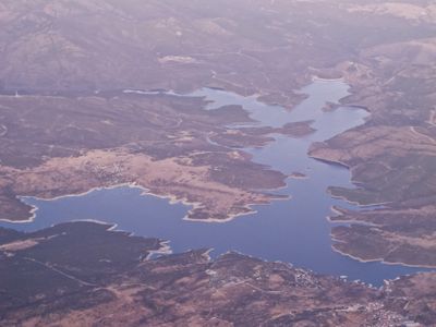
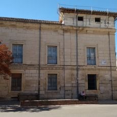
El Atazar is a reservoir spreading across six municipalities in the Sierra Norte, reaching down more than 90 meters (300 feet) into the valleys at some points. The shorelines wind through hills and woodlands, while villages sit on upper slopes above the waterline.
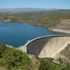
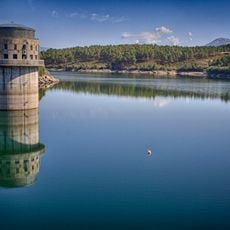
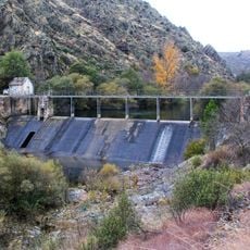
Construction started in 1965 and finished in 1972, with costs rising to five times the original budget, ultimately reaching 5000 million pesetas. Engineers introduced the first double-curvature vault design in Spain to handle the complex geology of the slate rock.
The waters belong to the supply network of Canal de Isabel II and contribute 46 percent of the total storage volume for the Madrid region. Local communities use the shoreline for traditional festivals where fishermen cast their nets and hikers gather at viewpoints.
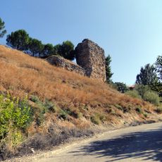
Visitors can explore the 60-kilometer Path of Genaro around the waters, connecting different villages through marked hiking trails and observation points. The route passes over gentle hills and through valleys, with some sections becoming hot and exposed in summer.
The construction required special concrete reinforcements because of the slate rock in the foundation, challenging the engineers' first calculations. The double curvature of the vault wall distributes the weight of the water onto the side rock faces rather than just the valley floor.
The community of curious travelers
AroundUs brings together thousands of curated places, local tips, and hidden gems, enriched daily by 60,000 contributors worldwide.