
Olocau, municipality of Spain
Location: Camp de Túria
Elevation above the sea: 200 m
Shares border with: Gátova, Llíria, Marines, Valencia, La Pobla de Vallbona, Serra
Website: https://olocau.es
GPS coordinates: 39.70000,-0.53167
Latest update: April 11, 2025 04:32

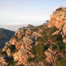
Serra Calderona Natural Park
4.7 km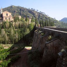
Cartuja de Porta Coeli
5.3 km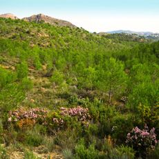
Serra Calderona
4.7 km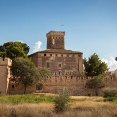
Castle of Benissanó
10.3 km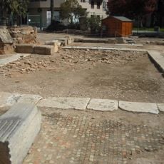
Roman sanctuary and thermae of Edeta
9.6 km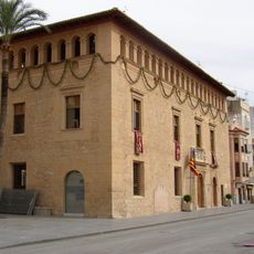
Ca la Vila
10 km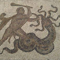
Pla de l'Arc
9.6 km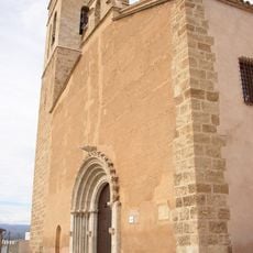
Església de la Sang
9.8 km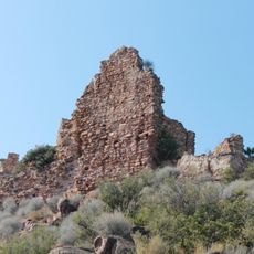
Castell d'Ali Maimo
2.6 km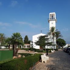
Església del Crist de les Mercés
3.7 km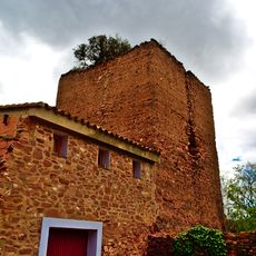
Tower Olla
4 km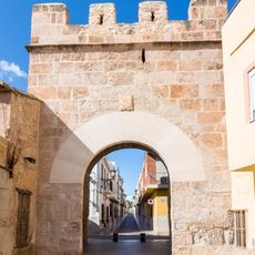
Murallas de Benisanó
10.4 km
El Castell
121 m
Jardín Botánico Olocau-Sierra Calderona
0 m
Alcazaba de Liria
9.8 km
Muralla medieval de Liria
9.9 km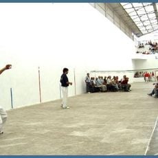
Trinquet del Pla de l'Arc
9.1 km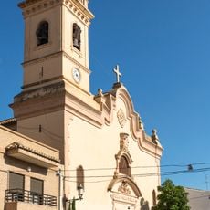
Església dels Sants Reis de Benissanó
10.4 km
Forn de la Vila
9.9 km
Agencia de Lectura Municipal de Benisanó
10.2 km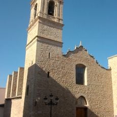
Església i convent del Remei de Llíria
9.7 km
Arab Baths of Llíria
9.8 km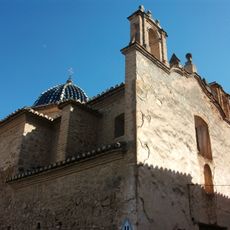
Església de la Mare de Déu de Llíria
9.9 km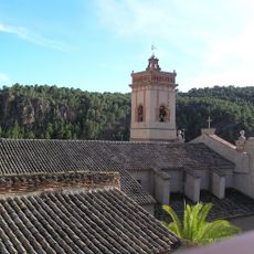
Església de la Mare de Déu del Roser d'Olocau
41 m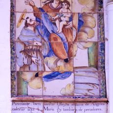
Ceramic panel of Saint Francis of Assisi and Our Lady of the Angels
8.9 km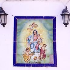
Ceramic panel of Our Lady of the Angels
8.8 km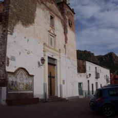
Església del Crist del Perdó
4.4 km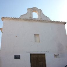
Església del Bon Pastor de Llíria
9.8 kmVisited this place? Tap the stars to rate it and share your experience / photos with the community! Try now! You can cancel it anytime.
Discover hidden gems everywhere you go!
From secret cafés to breathtaking viewpoints, skip the crowded tourist spots and find places that match your style. Our app makes it easy with voice search, smart filtering, route optimization, and insider tips from travelers worldwide. Download now for the complete mobile experience.

A unique approach to discovering new places❞
— Le Figaro
All the places worth exploring❞
— France Info
A tailor-made excursion in just a few clicks❞
— 20 Minutes