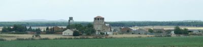
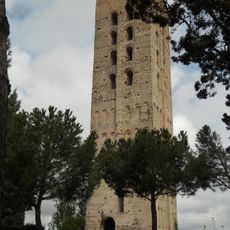
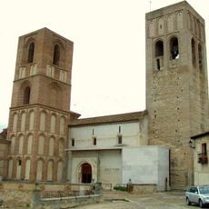
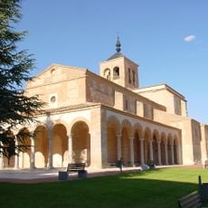
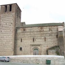
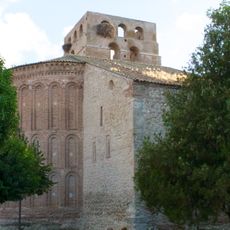
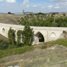
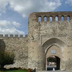
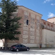
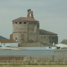
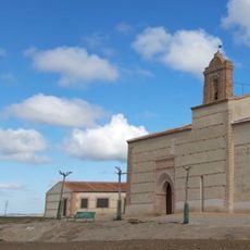
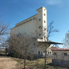
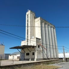
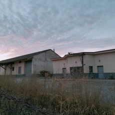
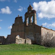
Almenara de Adaja, municipality of Spain
Location: Valladolid Province
Elevation above the sea: 773 m
Part of: Mancomunitat de Municipis «Las Murallas», Mancomunitat de Municipis «Río Eresma»
Shares border with: Fuente de Santa Cruz, Puras, Ataquines, Olmedo, Bocigas, Fuente-Olmedo
GPS coordinates: 41.21361,-4.67694
Latest update: April 15, 2025 15:42
Castle of Coca
12.7 km
Villa romana de Almenara
2.3 km
Mudéjar theme park
8.5 km
Church of Santa María la Mayor
16.8 km
Tower of Saint Nicholas, Coca
12.7 km
Monastery of Santa María de la Mejorada
12.5 km
Church of San Martín (Arévalo)
16.8 km
Church of San Miguel, Olmedo
8 km
Walls of Olmedo
8.6 km
Church of Santa María del Castillo, Olmedo
8.4 km
Monastery of the Mother of God
8.2 km
Church of San Miguel
16.8 km
Church of San Andrés, Olmedo
8.2 km
Medina Bridge
16.8 km
Coca city walls
13 km
Iglesia de San Juan Bautista, Palacios de Goda
14 km
Iglesia fortificada de San Pedro Apóstol
9.1 km
Biblioteca Pública Municipal de Olmedo
8.4 km
Puente de Valladolid
16.4 km
Ermita del Cristo de la Moralejilla
14.6 km
Church of Santa María la Mayor, Coca
13 km
Silo de Ataquines
10.4 km
Plaza de toros de Olmedo
8.1 km
Silo de Olmedo
7.2 km
Silo de Arévalo
16.4 km
Granero de San Cristóbal de la Vega
11.7 km
Convento de San Pablo de la Moraleja
10 km
Arévalo city walls
16.8 kmVisited this place? Tap the stars to rate it and share your experience / photos with the community! Try now! You can cancel it anytime.
Discover hidden gems everywhere you go!
From secret cafés to breathtaking viewpoints, skip the crowded tourist spots and find places that match your style. Our app makes it easy with voice search, smart filtering, route optimization, and insider tips from travelers worldwide. Download now for the complete mobile experience.
A unique approach to discovering new places❞
— Le Figaro
All the places worth exploring❞
— France Info
A tailor-made excursion in just a few clicks❞
— 20 Minutes