
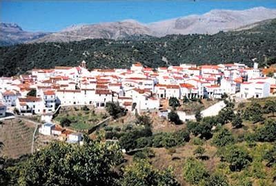
Faraján, municipality of Spain
Location: Málaga Province
Elevation above the sea: 645 m
Part of: Notary District of Ronda, Serranía de Ronda
Shares border with: Alpandeire, Júzcar, Jubrique
Website: http://farajan.com
GPS coordinates: 36.61649,-5.18886
Latest update: April 20, 2025 02:49
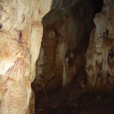
Cueva de la Pileta
11 km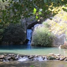
Cueva del Gato
13.1 km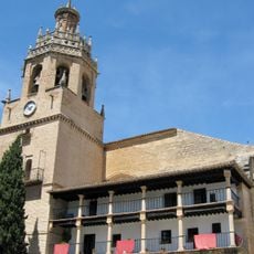
Iglesia de Santa María La Mayor
13.6 km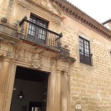
Palacio de Mondragón
13.6 km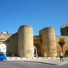
Puerta del Almocábar
13.3 km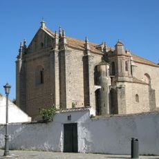
Iglesia del Espíritu Santo
13.4 km
Museo del Bandolero
13.6 km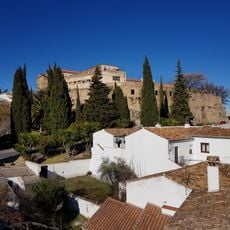
Castillo del Laurel
13.5 km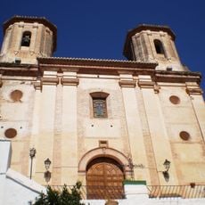
Iglesia de San Antonio de Padua
2.4 km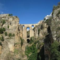
Centro Histórico de Ronda
13.6 km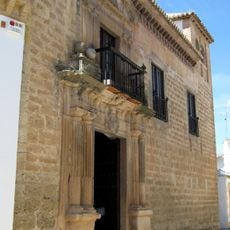
Museo de Ronda
13.6 km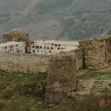
Castillo y Cementerio
7.1 km
Cueva Canal del Gato
13.1 km
Cueva del Gato
13.1 km
Iglesia de María Auxiliadora
13.5 km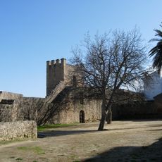
Muralla urbana
13.6 km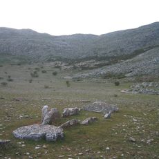
Dolmen de Encinas Borrachas
7.3 km
Biblioteca Pública Municipal de Jimera de Líbar - María Rodríguez
8.6 km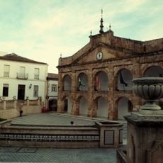
Casa Consistorial de Cortes de la Frontera
13.7 km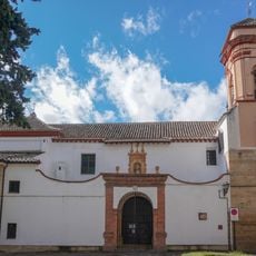
Convento Santa Isabel de los Angeles
13.5 km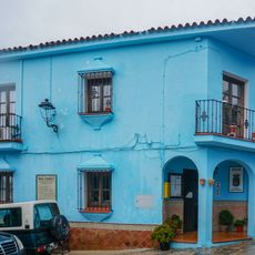
Casa consistorial de Júzcar
1.9 km
Convento de la Caridad
13.6 km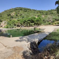
Paraje de la Escribana
9.8 km
Molino Cachucha
9.6 km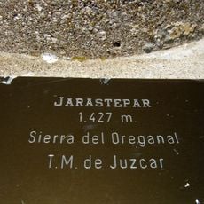
Jarastepar
5.4 km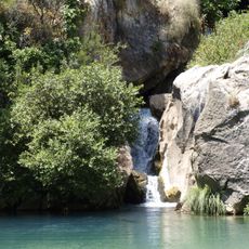
Paisaje del agua de la Cueva del Gato
13.1 km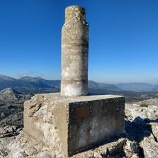
Ventana
12.8 km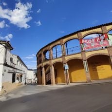
Plaza de toros de Cortes de la Frontera
13.6 kmReviews
Visited this place? Tap the stars to rate it and share your experience / photos with the community! Try now! You can cancel it anytime.
Discover hidden gems everywhere you go!
From secret cafés to breathtaking viewpoints, skip the crowded tourist spots and find places that match your style. Our app makes it easy with voice search, smart filtering, route optimization, and insider tips from travelers worldwide. Download now for the complete mobile experience.

A unique approach to discovering new places❞
— Le Figaro
All the places worth exploring❞
— France Info
A tailor-made excursion in just a few clicks❞
— 20 Minutes