
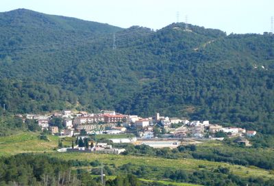
Santa Maria de Martorelles, village of Catalonia, Spain
Location: Vallès Oriental
Elevation above the sea: 181 m
Part of: Mancomunitat Intermunicipal de Martorelles i Santa Maria de Martorelles, Mancomunitat de Municipis del Galzeran
Shares border with: Alella, Tiana, Sant Fost de Campsentelles, Martorelles, Montornès del Vallès, Vallromanes
Website: http://santamariademartorelles.cat
GPS coordinates: 41.52139,2.25500
Latest update: March 8, 2025 03:48
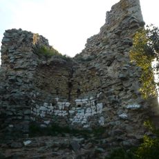
Castell de Montornès
1.6 km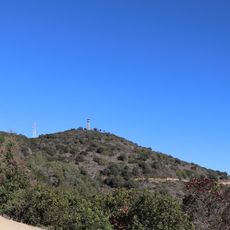
Turó d'en Galceran
2.1 km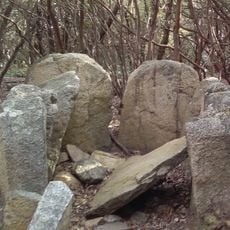
Dolmen de Can Gurri
2.2 km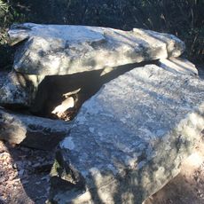
Dolmen de Castellruf
1.4 km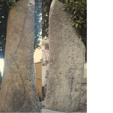
Menhir de Castellruf
264 m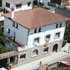
Can Lau de Martorelles
1.2 km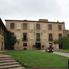
Torre Tavernera
2.7 km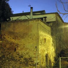
Can Puig
1.9 km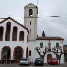
Sant Fost
1.8 km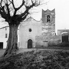
Església vella de Sant Fost de Campsentelles
2 km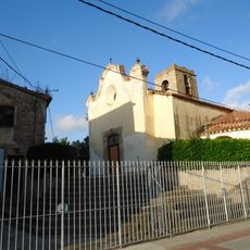
Church of Santa Maria de Martorelles
232 m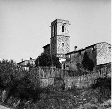
Sant Sadurní de Montornès
2.3 km
Can Cortés
3.3 km
Can Coll
3.4 km
Can Bruy
3.4 km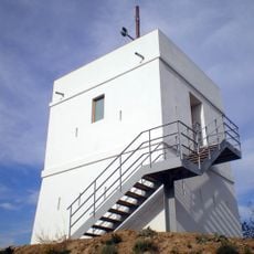
Torre del Telègraf
2.2 km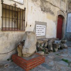
Rectoria
234 m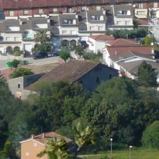
Can Coll
2 km
Can Bastinos
1.8 km
Pi Bord d'Alella
2.5 km
Can Puferrer
3.4 km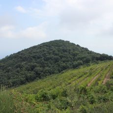
Els Ginestells
2.7 km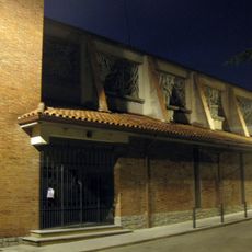
Sant Joaquim
1.8 km
Els Figuerals
2.4 km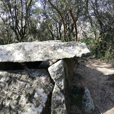
Poblat ibèric de Castellruf
1.2 km
Montserrat Roig Library
1.4 km
Molí de Lloberons
2 km
Biblioteca Biblio@teneu
1.9 kmVisited this place? Tap the stars to rate it and share your experience / photos with the community! Try now! You can cancel it anytime.
Discover hidden gems everywhere you go!
From secret cafés to breathtaking viewpoints, skip the crowded tourist spots and find places that match your style. Our app makes it easy with voice search, smart filtering, route optimization, and insider tips from travelers worldwide. Download now for the complete mobile experience.

A unique approach to discovering new places❞
— Le Figaro
All the places worth exploring❞
— France Info
A tailor-made excursion in just a few clicks❞
— 20 Minutes