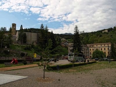
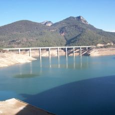
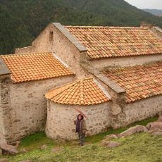
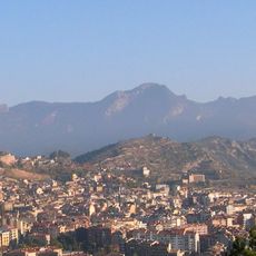
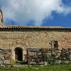
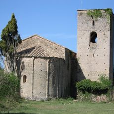
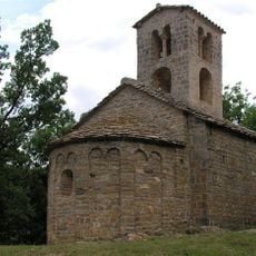
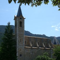
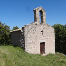
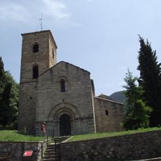
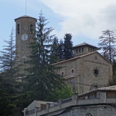
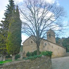
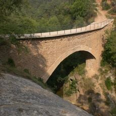
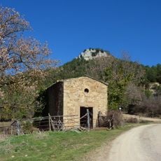
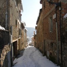
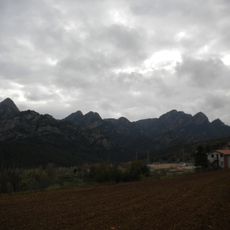
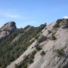
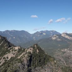
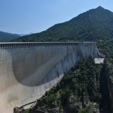
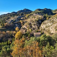
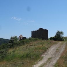
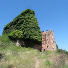
Vilada, municipality in the comarca of Berguedà, Catalonia
Location: Berguedà
Elevation above the sea: 757 m
Shares border with: Castell de l'Areny, Borredà, La Quar, Cercs, La Nou de Berguedà
Website: http://vilada.cat
GPS coordinates: 42.13861,1.93111
Latest update: March 11, 2025 23:13
Pantà de la Baells
4.7 km
Sant Quirze de Pedret (Church)
5.2 km
Sobrepuny
3.7 km
Sant Romà de la Clusa
5.4 km
Sant Pere de la Portella
4.2 km
Sant Sadurní de Rotgers
3.9 km
Castell de Roset
1.8 km
Santuari de Lurda de la Nou
4.7 km
Salga Aguda
2.7 km
Sant Miquel de les Canals
3.2 km
Sant Martí de la Nou
4.9 km
Pont de Rabentí
5.9 km
Sant Joan de Vilada
291 m
Sant Vicenç de Castell de l'Areny
4 km
Santa Cova (la Nou de Berguedà)
4.7 km
Pont d'en Climent
1.3 km
Mare de Déu de la Mercè de Cirera
4.7 km
Carrer Cap de la Costa
5.8 km
Molí de la Portella
4.2 km
Serrat de Migdia
2.3 km
Pic de Perris
2.5 km
Serrat dels Teixons
3 km
Reservoir of la Baells
4.7 km
Pont de Miralles
4.4 km
Pont de la Baells
4.1 km
Cal Patzí
4.7 km
El Mascaró
3.9 km
Corrúbies
3.7 kmReviews
Visited this place? Tap the stars to rate it and share your experience / photos with the community! Try now! You can cancel it anytime.
Discover hidden gems everywhere you go!
From secret cafés to breathtaking viewpoints, skip the crowded tourist spots and find places that match your style. Our app makes it easy with voice search, smart filtering, route optimization, and insider tips from travelers worldwide. Download now for the complete mobile experience.
A unique approach to discovering new places❞
— Le Figaro
All the places worth exploring❞
— France Info
A tailor-made excursion in just a few clicks❞
— 20 Minutes