Enable Location

We need your location to show you interesting places around you

Discover nearby places

Find interesting locations and hidden gems around you

Precise directions

Get accurate directions and distances to places

Your location is never shared with other users. It's only used when you tap the location button.

Alcántara

Log in to your account

Start exploring — it's free

Trusted by 62,036 travelers worldwide

Continue with Google
Continue with Apple
or

We will send you a code to connect

By continuing, you accept our Terms and Conditions and our Privacy Policy

Check your inbox

We've sent a pincode in your inbox. Please enter the code below.

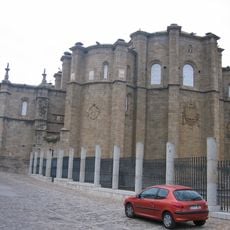
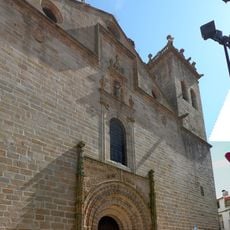
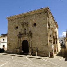
Alcántara, Medieval municipality in Cáceres Province, Spain.

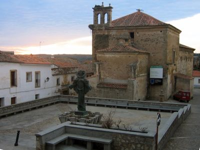
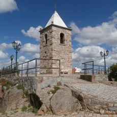
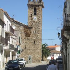
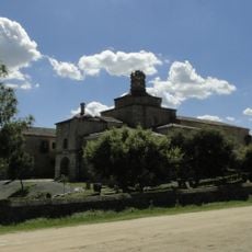
Alcántara is a small town in Cáceres Province that spreads across gentle hills beside the Tagus River. Houses with orange and golden-toned facades cling to the slopes, while narrow cobblestone streets wind through the center.

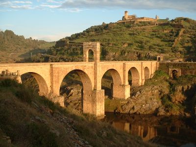
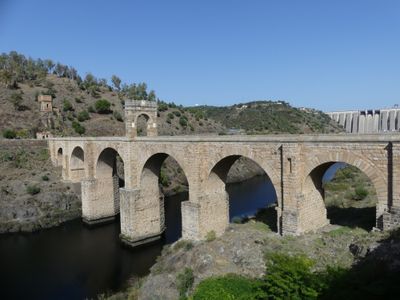
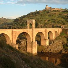
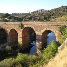
The Romans built an impressive bridge across the Tagus between 103 and 106 AD that still stands today. This structure became the symbol of the town and solidified control over this crucial river crossing.

The name comes from Arabic meaning "the bridge," reflecting the long Moorish presence in the region. Walking through the narrow streets and stone buildings today, you sense how the town served as a boundary between different worlds and cultures.

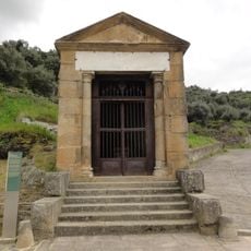
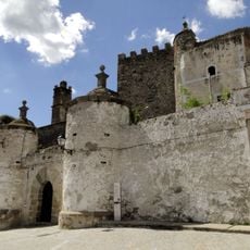
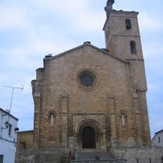
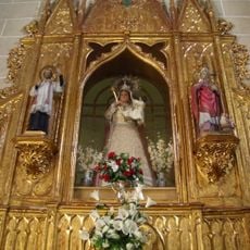
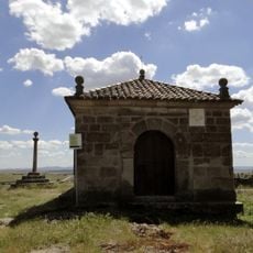
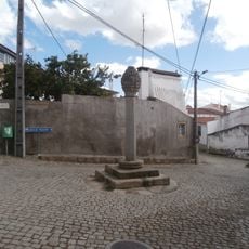
Visitors can walk across the old bridge and explore the church with its center on chivalric orders. The paths are steep and uneven, so comfortable walking shoes are recommended.

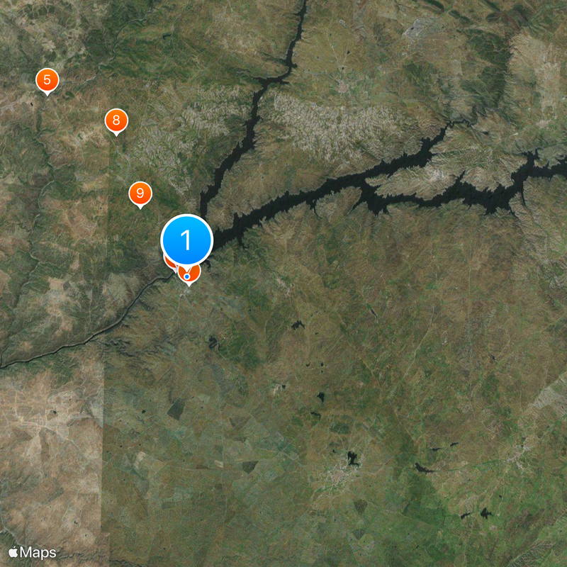
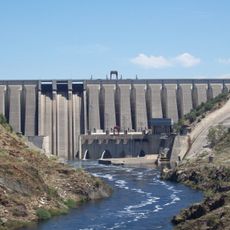
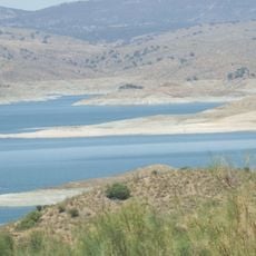
A reservoir called La Cantera was created from materials of the dam and is now a popular summer swimming spot. The area attracts rare birds like vultures and black storks that circle overhead.

The community of curious travelers

AroundUs brings together thousands of curated places, local tips, and hidden gems, enriched daily by 60,000 contributors worldwide.

Start exploring
Capital city
Alcántara
Elevation above the sea
291 m
Part of
Tajo-Salor Community
Shares border with
Acehúche, Brozas, Ceclavín, Garrovillas de Alconétar, Membrío, Navas del Madroño, Portezuelo, Salorino, Villa del Rey, Zarza la Mayor, Mata de Alcántara, Piedras Albas, Idanha-a-Nova
GPS coordinates
39.71861,-6.88389
Latest update
December 20, 2025 12:57
« Alcántara - Medieval municipality in Cáceres Province, Spain » is provided by Around Us (aroundus.com). Images and texts are derived from Wikimedia project under a Creative Commons license. You are allowed to copy, distribute, and modify copies of this page, under the conditions set by the license, as long as this note is clearly visible.

Discover hidden gems everywhere you go!

From secret cafés to breathtaking viewpoints, skip the crowded tourist spots and find places that match your style. Our app makes it easy with voice search, smart filtering, route optimization, and insider tips from travelers worldwide. Download now for the complete mobile experience.

Around Us App Screenshot

A unique approach to discovering new places

Le Figaro

All the places worth exploring

France Info

A tailor-made excursion in just a few clicks

20 Minutes

Around Us
Travel Guide & Maps
Download

Send to your phone

QR Code
1

Open the camera app on your mobile.

2

Point at the QR code with your camera. A notification will appear.

3

Tap the notification to open the link.