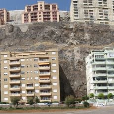
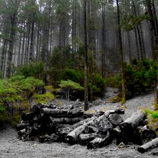
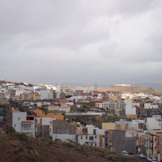
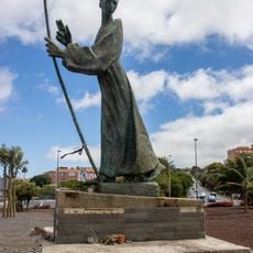
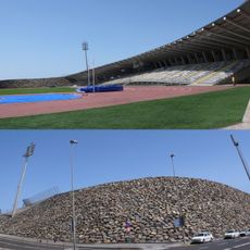
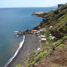
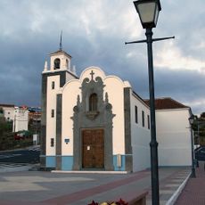
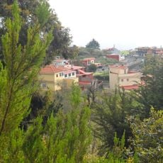
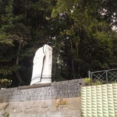
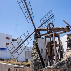
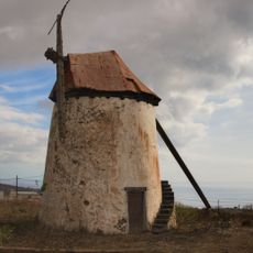
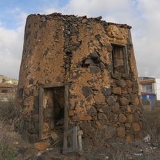
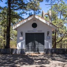
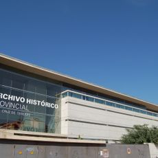
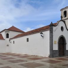
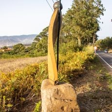
El Rosario, Tenerife, municipality of Spain
Location: Canary Islands
Elevation above the sea: 905 m
Part of: Mancomunitat del Nordeste de Tenerife, Mancomunitat del Norte de Tenerife
Shares border with: San Cristóbal de La Laguna, Tacoronte, Santa Cruz de Tenerife, El Sauzal, Candelaria, Santa Cruz de Tenerife
Website: http://ayuntamientoelrosario.org
GPS coordinates: 28.43280,-16.36821
Latest update: March 4, 2025 20:31
Radazul
5.8 km
Paisaje protegido de Las Lagunetas
5.1 km
Los Alisios
5.9 km
Las Raíces
1.5 km
Monument to José de Anchieta
7.2 km
Centro Insular de Atletismo de Tenerife
6.2 km
Playa del Muerto
7.5 km
San Isidro
2.8 km
Las Rosas
120 m
Bosque del Adelantado
2 km
Barranco Grande Windmill
6.1 km
Cuevas Blancas Windmill
5.4 km
Windmill of Llano del Moro
3.6 km
Franco Monument, Las Raíces
1.5 km
The Snowman
6 km
Pico de las Flores
2.2 km
Los primeros diez años...
6.8 km
Ermita Nuestra Senora de la Candelaria
978 m
Archivo Histórico Provincial
7.3 km
Archaeological area of La Gallega
5 km
Archaeological area of Lomo Gordo
5.6 km
Parroquia de Nuestra Señora del Carmen, Tenerife
4.5 km
Instituto de Astrofísica de Canarias library
7.5 km
Bordeaux Telescope
7.5 km
Sculpture Homage to the Pinocheros and Pinocheras of the Municipality of Rosario,
2.6 km
Heliógrafo Razdow
7.2 km
Mujer Rural
3.4 km
Ajuria threshing machine, Tenerife
6.8 kmReviews
Visited this place? Tap the stars to rate it and share your experience / photos with the community! Try now! You can cancel it anytime.
Discover hidden gems everywhere you go!
From secret cafés to breathtaking viewpoints, skip the crowded tourist spots and find places that match your style. Our app makes it easy with voice search, smart filtering, route optimization, and insider tips from travelers worldwide. Download now for the complete mobile experience.
A unique approach to discovering new places❞
— Le Figaro
All the places worth exploring❞
— France Info
A tailor-made excursion in just a few clicks❞
— 20 Minutes