Letur

Log in to your account

AroundUs is a community-driven map of interesting places, built by curious explorers like you. It grows with every review, story, and photo you share.
Connect to save your favorite spots, contribute locations, and create personalized routes.
Continue with Google
Continue with Apple
Continue with X
Continue with Facebook
Continue with email
By continuing, you accept our Terms and Conditions and our Privacy Policy
Create an account
Add to collection
Map
Suggest a change
Share

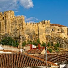
Letur, municipality of Spain

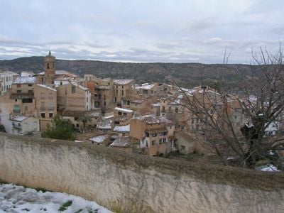
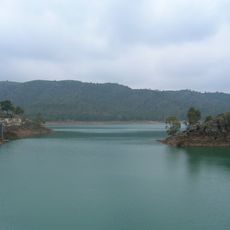
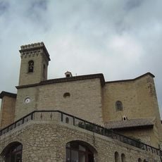
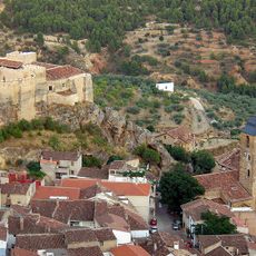
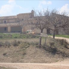
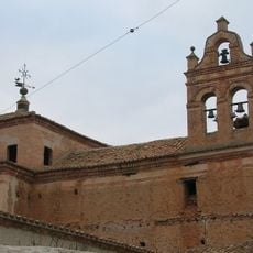
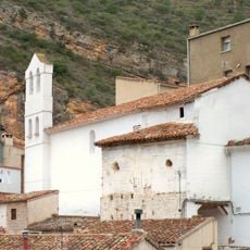
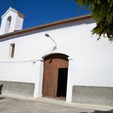
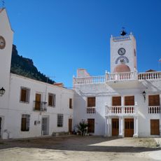
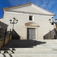
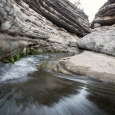
Letur is a small municipality in Albacete Province situated on a hilltop in the Sierra del Segura range. Stone-built houses with red tile roofs line narrow cobbled streets, and a small stream shapes the layout while creating spots marked by old stone bridges and modest fountains throughout the settlement.

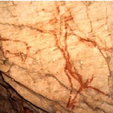
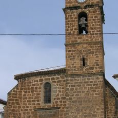
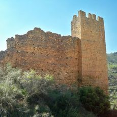
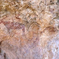
Humans have inhabited Letur since the Paleolithic period, as shown by ancient cave paintings depicting hunting scenes found in the area. The Moorish period later shaped the town's distinctive street layout and irrigation system.

The name Letur comes from the Moorish period, and this heritage remains visible in the winding layout of narrow alleys and passageways that define the town today. Locals and visitors use the squares and streets as gathering spots, creating a living tradition where daily life unfolds at a slow and connected pace.

The town sits on hilly terrain, so sturdy footwear is recommended and most exploration requires some physical activity on steep paths. A local map helps navigate the narrow streets since the winding layout can be confusing and it is easy to lose your way.

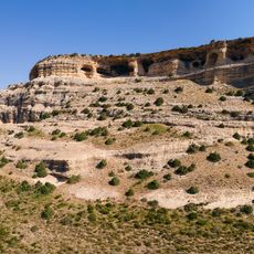
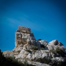
The climb to Mirador de la Molatica viewpoint offers a surprising view of the entire village from above, as this natural rocky balcony allows you to see all the roofs, narrow streets, and surrounding hills at once. This hidden spot is often overlooked, yet it remains one of the most rewarding places for photography and quiet observation of the settlement.

Location: Albacete Province

Capital city: Letur

Elevation above the sea: 720 m

Part of: Mancomunidad de Municipios de la Sierra del Segura

Shares border with: Nerpio, Yeste, Elche de la Sierra, Férez, Socovos, Moratalla

Address: 02434 Letur, Albacete, Spain

Website: https://letur.es

GPS coordinates: 38.36631,-2.10074

Latest update: January 15, 2026 08:54

Photos
Castile-La Mancha: historic towns, castles, and natural parks in Spain

Castile-La Mancha covers a large highland area in the middle of Spain, between Madrid and Andalusia. This region includes towns with art and history, like Toledo, an old Spanish city with medieval streets and monuments that show the mixing of Christian, Jewish, and Muslim cultures. It also has...

Reviews

Visited this place? Tap the stars to rate it and share your experience / photos with the community! Try now! You can cancel it anytime.

« Letur - municipality of Spain » is provided by Around Us (aroundus.com). Images and texts are derived from Wikimedia project under a Creative Commons license. You are allowed to copy, distribute, and modify copies of this page, under the conditions set by the license, as long as this note is clearly visible.

Discover hidden gems everywhere you go!

From secret cafés to breathtaking viewpoints, skip the crowded tourist spots and find places that match your style. Our app makes it easy with voice search, smart filtering, route optimization, and insider tips from travelers worldwide. Download now for the complete mobile experience.

Around Us App Screenshot

A unique approach to discovering new places

Le Figaro

All the places worth exploring

France Info

A tailor-made excursion in just a few clicks

20 Minutes