Enable Location

We need your location to show you interesting places around you

Discover nearby places

Find interesting locations and hidden gems around you

Precise directions

Get accurate directions and distances to places

Your location is never shared with other users. It's only used when you tap the location button.

Cantavieja

Log in to your account

Start exploring — it's free

Trusted by 63,030 travelers worldwide

Continue with Google
Continue with Apple
or

We will send you a code to connect

By continuing, you accept our Terms and Conditions and our Privacy Policy

Check your inbox

We've sent a pincode in your inbox. Please enter the code below.

Discussion Reviews 3 Photos 1 Collections
18.7k Popularity

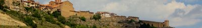
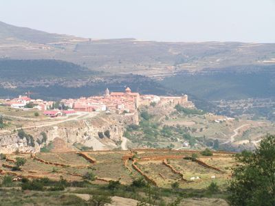
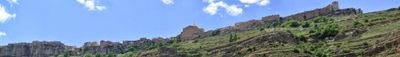
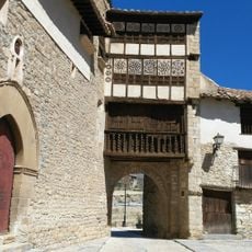
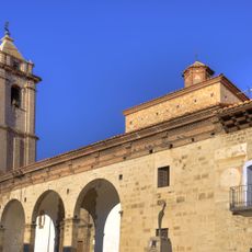
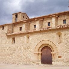
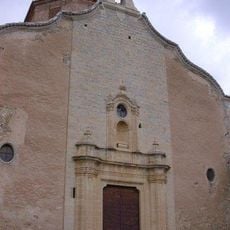
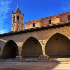
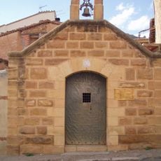
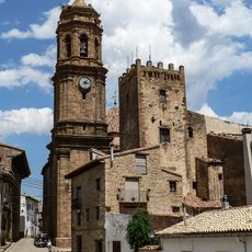
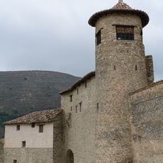
Cantavieja, Medieval mountain municipality in Maestrazgo, Spain

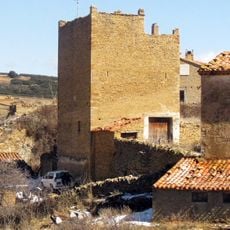
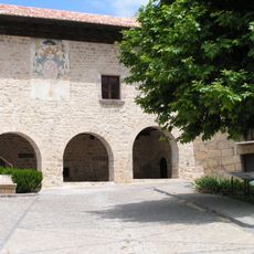
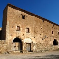
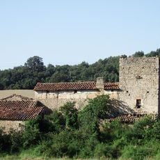
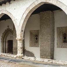
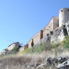
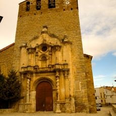
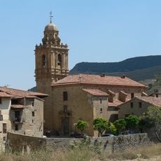
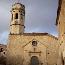
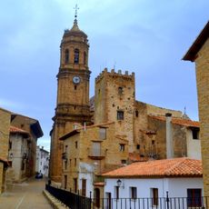
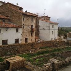
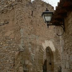
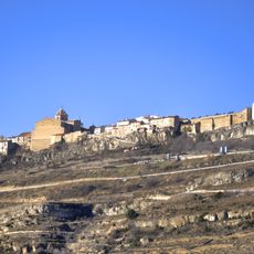
Cantavieja is a mountain settlement in the Maestrazgo region of Teruel Province, built with stone structures at approximately 1,290 meters in elevation. The terrain is rugged and mountainous throughout the area.

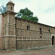
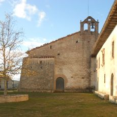
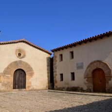
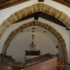
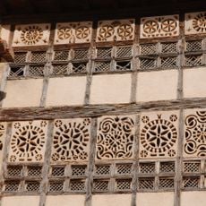
The settlement was founded in 1197 and received recognition as a historic town center in 1981. Its architecture reflects influences spanning several centuries of development.

The settlement hosts the Feria de Mayo each May, a local festival featuring traditional performances and regional food that brings the community together.

The settlement sits on elevated terrain and can be explored on foot, with marked trails and cycling routes available for visitors. These paths connect to neighboring towns throughout the region.

The settlement serves as the administrative capital of the Maestrazgo region while maintaining an extremely sparse population. This low density gives the place an unusual quiet character despite its administrative role.

The community of curious travelers

AroundUs brings together thousands of curated places, local tips, and hidden gems, enriched daily by 60,000 contributors worldwide.

Start exploring
Location
Capital city
Cantavieja
Elevation above the sea
1,290 m
Part of
Mancomunidade Turística do Maestrazgo Turolense
Shares border with
Fortanete, Cañada de Benatanduz, Villarluengo, Tronchón, Mirambel, Portell de Morella, La Iglesuela del Cid, Mosqueruela
Address
44140 Cantavieja, Teruel, Spain
GPS coordinates
40.52542,-0.40533
Latest update
December 6, 2025 16:02
Historic sites and natural areas in Aragon

Aragon stretches across three provinces in northeastern Spain, preserving more than two thousand years of history through its monasteries, castles and medieval villages. The region displays Moorish towers in Teruel, Romanesque churches in the Pyrenees and Gothic bridges along ancient trade routes....

Reviews
Share your experience

No review yet

Discussions
Start a discussion...

No discussion yet

« Cantavieja - Medieval mountain municipality in Maestrazgo, Spain » is provided by Around Us (aroundus.com). Images and texts are derived from Wikimedia project under a Creative Commons license. You are allowed to copy, distribute, and modify copies of this page, under the conditions set by the license, as long as this note is clearly visible.

Discover hidden gems everywhere you go!

From secret cafés to breathtaking viewpoints, skip the crowded tourist spots and find places that match your style. Our app makes it easy with voice search, smart filtering, route optimization, and insider tips from travelers worldwide. Download now for the complete mobile experience.

Around Us App Screenshot

A unique approach to discovering new places

Le Figaro

All the places worth exploring

France Info

A tailor-made excursion in just a few clicks

20 Minutes

Around Us
Travel Guide & Maps
Download

Send to your phone

QR Code
1

Open the camera app on your mobile.

2

Point at the QR code with your camera. A notification will appear.

3

Tap the notification to open the link.