Don Benito, Agricultural municipality in Badajoz Province, Spain
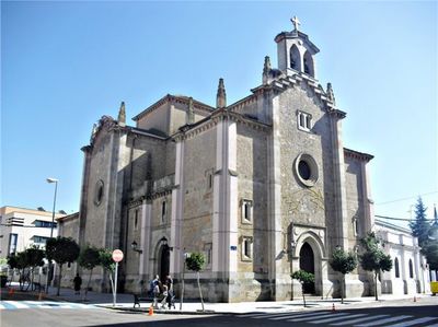
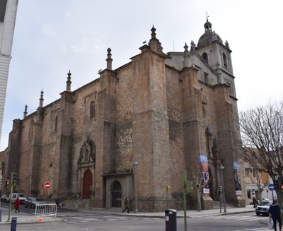
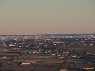
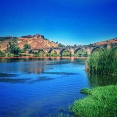
Don Benito is a municipality on the Guadiana plain in western Spain, surrounded by wide agricultural land. Streets run outward from the river, with low residential buildings and a few larger squares where cafés and shops sit.
The settlement formed in the 15th century when people from a flood-prone area upstream moved and built new homes here. Over time, the town grew through trade and farming that used the surrounding plains.
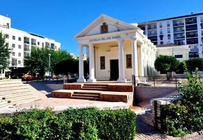
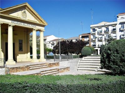
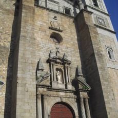
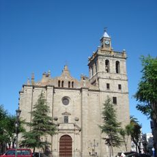
The town honors a medieval landowner in its name, and today life centers on squares where people gather over coffee and conversation. Shops and bars line the streets of the center, while many residents still work in agriculture across the surrounding fields.
Walking works best in the center, while a car helps reach the fields and smaller communities nearby. Most services cluster around the main squares, where visitors find cafés and shops.
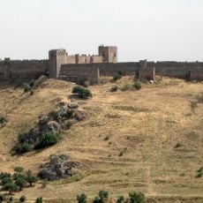
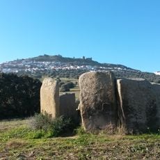
A local legend speaks of an underground tunnel connecting the town to a fortress by the river, though no one today can find its entrance. Some older residents remember their grandparents talking about secret passages beneath the oldest houses.
The community of curious travelers
AroundUs brings together thousands of curated places, local tips, and hidden gems, enriched daily by 60,000 contributors worldwide.