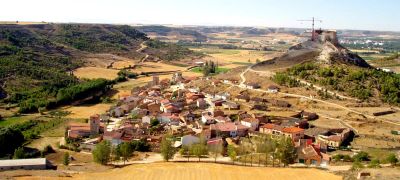
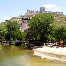
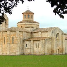
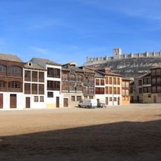
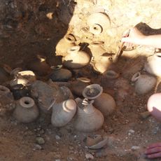
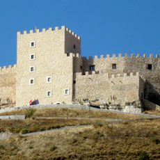
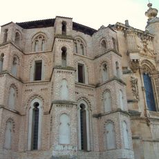
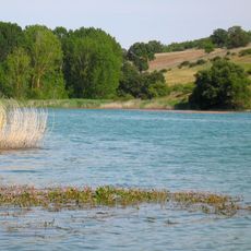
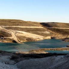
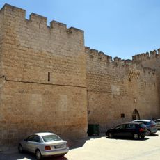
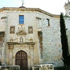
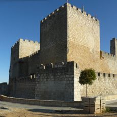
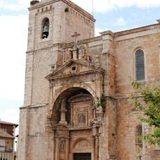
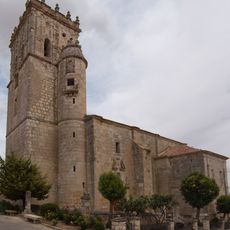
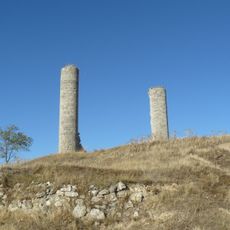
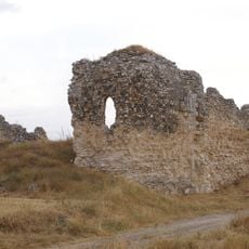
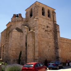
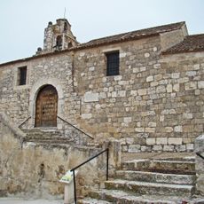
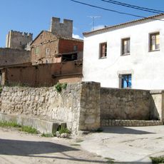
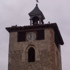
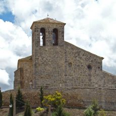
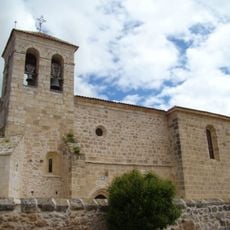
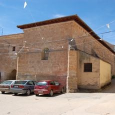
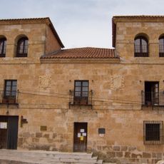
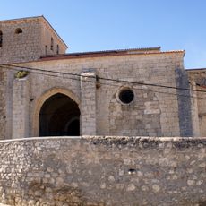
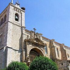
Curiel de Duero, municipality of Spain
Location: Valladolid Province
Elevation above the sea: 798 m
Part of: Mancomunitat «Campo de Peñafiel»
Shares border with: Peñafiel, Pesquera de Duero, Roturas, Corrales de Duero, Valdearcos de la Vega, Mambrilla de Castrejón, Bocos de Duero
GPS coordinates: 41.63917,-4.10000
Latest update: April 17, 2025 02:35
Peñafiel Castle
4.9 km
Valbuena Abbey
13.5 km
Plaza del Coso
5.4 km
Pintia
6.3 km
Castillo de Curiel de Duero
229 m
Church and Convent of San Pablo, Peñafiel
5.3 km
Embalse de Encinas de Esgueva
11.8 km
Embalse de Valdemudarra
8.7 km
Palacio de los Zúñiga
164 m
Convent of Santa Clara, Peñafiel
5.1 km
Castillo de Encinas de Esgueva
12.9 km
Ex Colegiata de Santa María, Roa
15.7 km
Church of San Juan Bautista, Guzmán
15.6 km
Castle of Canillas de Esgueva
13.2 km
Convento de Santa María de Oreja
14.3 km
Muralla de Peñafiel
5 km
Iglesia de Santa María
103 m
Church of the Invención de la Cruz, Cuevas de Provanco
15.8 km
Muralla de Curiel de Duero
309 m
Torre del Reloj de Peñafiel
4.9 km
Church of La Asunción
10 km
Tower of Jarrubia
7.5 km
Church of Santa Engracia, Olmos de Peñafiel
8.9 km
Iglesia de Nuestra Señora de la Asunción, Boada de Roa
14.4 km
Palace of Guzmán and Santoyo
15.5 km
Iglesia de los Santos Justo y Pastor, Manzanillo
9.5 km
Colegiata de Santa María
15.7 km
Las Ruedas
6.2 kmReviews
Visited this place? Tap the stars to rate it and share your experience / photos with the community! Try now! You can cancel it anytime.
Discover hidden gems everywhere you go!
From secret cafés to breathtaking viewpoints, skip the crowded tourist spots and find places that match your style. Our app makes it easy with voice search, smart filtering, route optimization, and insider tips from travelers worldwide. Download now for the complete mobile experience.
A unique approach to discovering new places❞
— Le Figaro
All the places worth exploring❞
— France Info
A tailor-made excursion in just a few clicks❞
— 20 Minutes