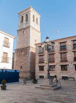
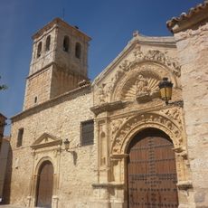
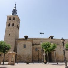
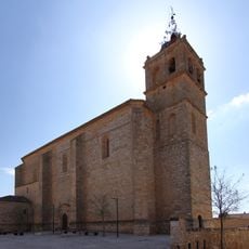
Corral de Almaguer, Administrative division in Toledo Province, Spain
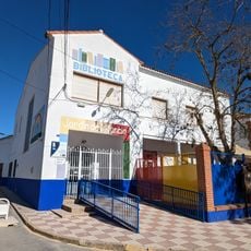
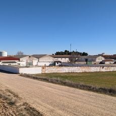
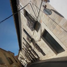
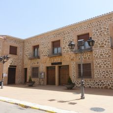
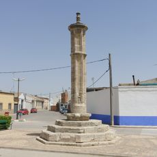
Corral de Almaguer is a municipality in Toledo Province, situated across a broad semi-arid landscape marked by grain fields and vineyards. The town stands as a typical rural settlement in the central Spanish region of Castilla-La Mancha, reflecting the character of this plateau.
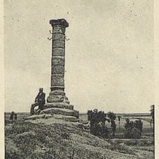
The settlement developed during Spain's medieval period as a rural community center that endured for centuries. In the 20th century, it experienced population decline as residents moved to larger cities, following a pattern common across central Spain.
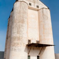
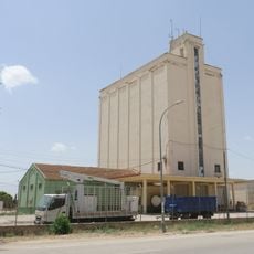
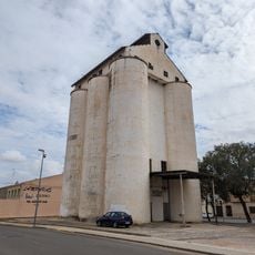
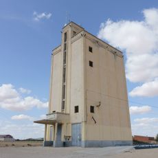
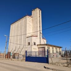
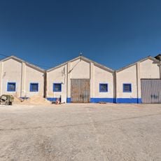
Agriculture shapes how people here live and work, with grain fields and vineyards covering the land in every direction. Walking through the area, you notice the rhythms of farming in the landscape and the way locals connect to their fields.
The town sits on a plateau and can be reached by car or regional transport from Madrid and other regional centers. A visit works well when combined with exploring the surrounding countryside, as the flat terrain allows for easy wandering.
Families from this town migrated to Latin America starting in the 16th century and settled in northern Mexico, founding communities there. These connections to the Americas remain part of local memory and show how villagers helped shape the history of an entire region.
The community of curious travelers
AroundUs brings together thousands of curated places, local tips, and hidden gems, enriched daily by 60,000 contributors worldwide.