Brihuega

Log in to your account

AroundUs is a community-driven map of interesting places, built by curious explorers like you. It grows with every review, story, and photo you share.
Connect to save your favorite spots, contribute locations, and create personalized routes.
Continue with Google
Continue with Apple
Continue with X
Continue with Facebook
Continue with email
By continuing, you accept our Terms and Conditions and our Privacy Policy
Create an account
Add to collection
Map
Suggest a change
Share

Brihuega, Medieval municipality in Guadalajara Province, Spain

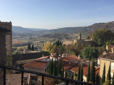
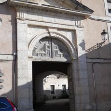
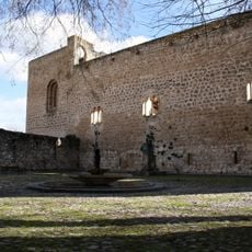
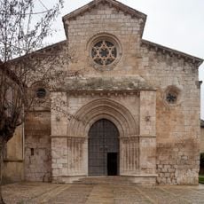
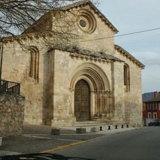
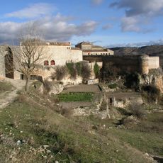
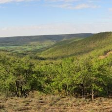
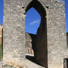
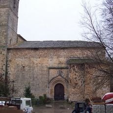
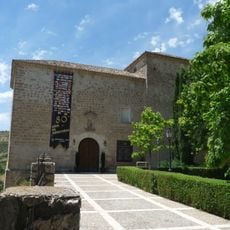
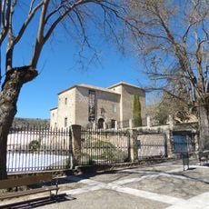
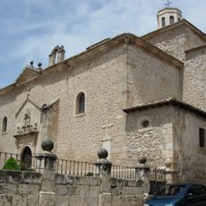
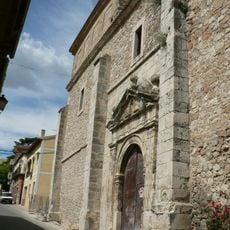
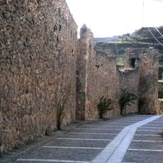
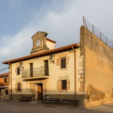
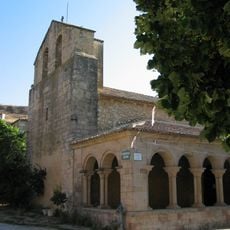
Brihuega is a municipality in Guadalajara Province within the La Alcarria region, sitting on elevated terrain at around 900 meters. The town displays traditional stone architecture arranged along narrow streets that follow the typical medieval layout.

The Battle of Brihuega in 1710 was a crucial moment during the War of Spanish Succession, when Franco-Spanish forces defeated British troops in the area. This victory helped reshape the region's political future.

The town has deep roots in lavender farming, with purple fields surrounding the area and local traditions tied to this crop. Visitors can experience this connection through the landscape and seasonal celebrations that honor the flowers.

The elevated location means walking involves some slopes, so sturdy footwear helps when exploring the streets. Local services and public transportation connect the town to nearby areas, making it accessible for visitors interested in the region.

Beneath the streets lies a network of Arab caves, evidence of medieval Islamic settlement in the area. These underground spaces tell a lesser-known chapter of the region's past.

Location: Guadalajara Province

Capital city: Brihuega

Elevation above the sea: 894 m

Part of: komunumaro «Aguas del Río Tajuña», Mancomunidad de las Riberas del Tajo, Mancomunidade de recollida de residuos sólidos de Brihuega e Alaminos

Shares border with: Alaminos, Almadrones, Cogollor, Valderrebollo, Barriopedro, Solanillos del Extremo, Henche, Budia, San Andrés del Rey, Yélamos de Arriba, Yélamos de Abajo, Irueste, Valfermoso de Tajuña, Valdeavellano, Caspueñas, Valdegrudas, Trijueque, Muduex, Gajanejos, Ledanca, Argecilla

Website: http://brihuega.es

GPS coordinates: 40.76056,-2.86917

Latest update: December 19, 2025 22:27

Photos
Reviews

Visited this place? Tap the stars to rate it and share your experience / photos with the community! Try now! You can cancel it anytime.

« Brihuega - Medieval municipality in Guadalajara Province, Spain » is provided by Around Us (aroundus.com). Images and texts are derived from Wikimedia project under a Creative Commons license. You are allowed to copy, distribute, and modify copies of this page, under the conditions set by the license, as long as this note is clearly visible.

Discover hidden gems everywhere you go!

From secret cafés to breathtaking viewpoints, skip the crowded tourist spots and find places that match your style. Our app makes it easy with voice search, smart filtering, route optimization, and insider tips from travelers worldwide. Download now for the complete mobile experience.

Around Us App Screenshot

A unique approach to discovering new places

Le Figaro

All the places worth exploring

France Info

A tailor-made excursion in just a few clicks

20 Minutes