Atarfe, municipality of Spain
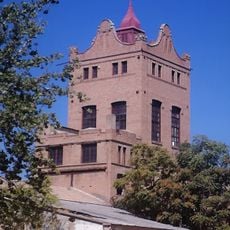
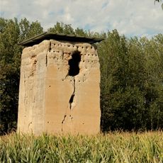
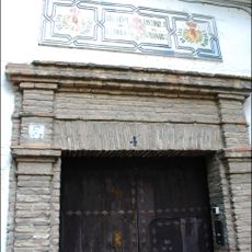
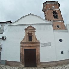
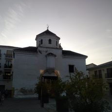
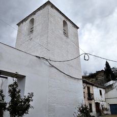
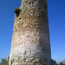
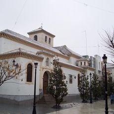
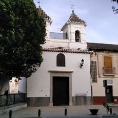
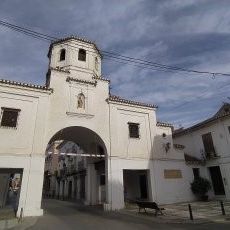
Atarfe is a town in Granada province, Spain, surrounded by mountains and farmland. It features a 18th-century church built on the remains of an ancient Arab mosque, along with archaeological sites including the ruins of Medina Elvira, a medieval city that once thrived on the nearby hillside.
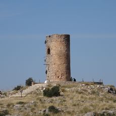
Atarfe has been inhabited since prehistoric times and was important to multiple civilizations, from Romans to Arabs who arrived in 711. The nearby city of Medina Elvira flourished between the 8th and 11th centuries as a major Muslim center before declining due to internal conflicts and Christian advances.
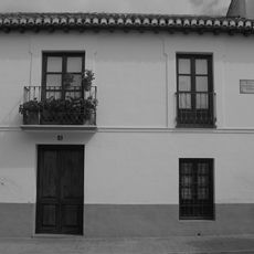
The name Atarfe comes from the Arabic term "Al Tarf", meaning boundary or reference point. The town has been shaped by different communities living together, and visitors can still see local crafts today, including hand-woven carpets, tapestries, and pottery made in workshops around town.
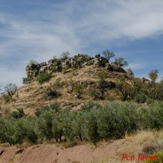
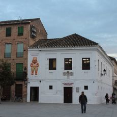
The town sits about 11 kilometers from Granada and is easily reached via the N-432 highway. Visit in clear weather for exploring the mountain trails around Sierra Elvira, or plan a trip during July festivals when the community hosts celebrations and local traditions are on full display.
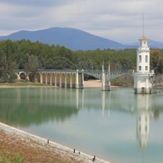
In the Sierra Elvira, a small artificial lake with naturally warm water, reaching around 28 degrees Celsius, offers an unexpected place to relax among the mountains. This thermal feature makes it a memorable spot that many visitors overlook when exploring the area.
The community of curious travelers
AroundUs brings together thousands of curated places, local tips, and hidden gems, enriched daily by 60,000 contributors worldwide.