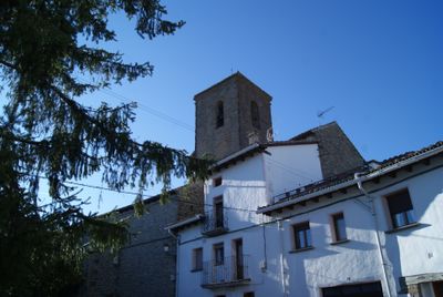
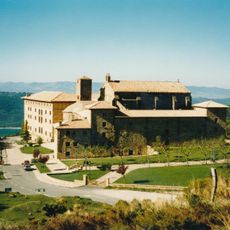
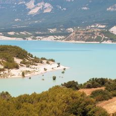
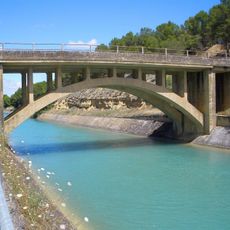
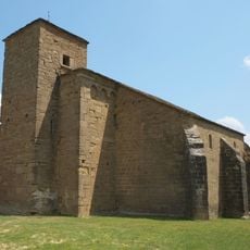
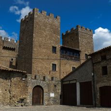
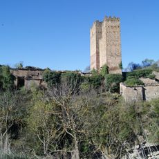
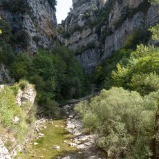
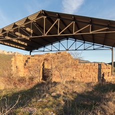
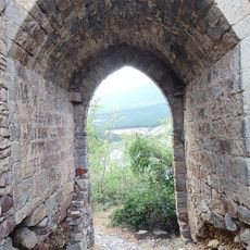
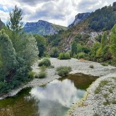
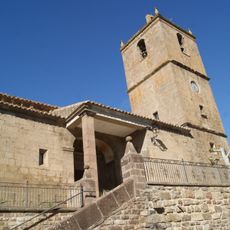
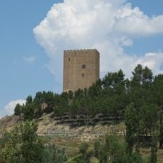
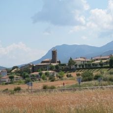
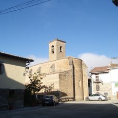
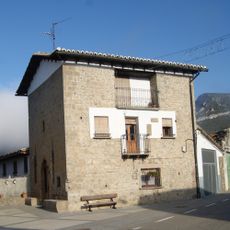
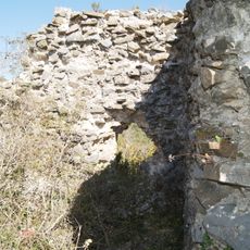
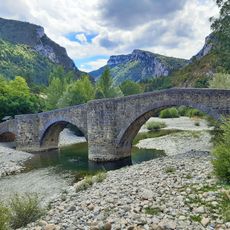
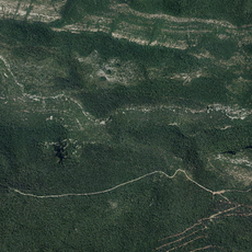
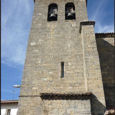
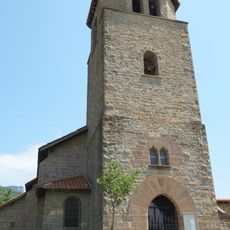
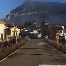
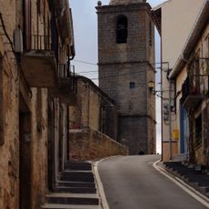
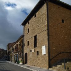
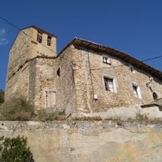
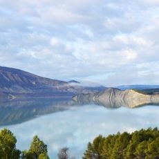
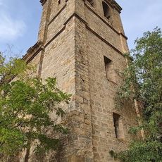
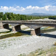
Artieda, municipality of Aragón
Location: Zaragoza Province
Location: Jacetania
Elevation above the sea: 652 m
Website: http://www.artieda.es/
Part of: French Way in Aragon
Shares border with: Mianos, Los Pintanos, Sigüés
Website: http://artieda.es
GPS coordinates: 42.58659,-0.98368
Latest update: March 9, 2025 05:01
Monastery of Leyre
16.3 km
Yesa Reservoir
15.7 km
Canal de Bardenas
16.7 km
Iglesia Románica de los Santos Julián y Basilisa
5.4 km
Castillo de Biniés
14 km
Castle of Ruesta
7.7 km
Paisaje protegido de las Fozes de Fago y Biniés
16.9 km
Yacimiento de El Corral de Calvo
16.1 km
Portal de las Brujas
11.3 km
Foz de Burgui
13.4 km
Iglesia de San Esteban
14.1 km
Castle in Navardún
15.5 km
Virgen de la Paruela
7.3 km
Church of Saint Fructuosus
16.5 km
Iglesia de San Esteban
5.4 km
Torre de los Pomar
5.6 km
Gazteluberriko gaztelua
11.4 km
Bridge of Burgui-Burgi
14.8 km
Foz de Benasa
16 km
Done Petri eliza
15 km
San Esteban (Yesa)
18.1 km
Sigüés
5.4 km
Church os San Millan
16.6 km
Casa natal de Ramón y Cajal (Petilla)
16.5 km
San Martin eliza
11.4 km
Presa de Yesa
16.7 km
Iglesia de San Miguel
11.4 km
Puente de Puente la Reina de Jaca
16.6 kmReviews
Visited this place? Tap the stars to rate it and share your experience / photos with the community! Try now! You can cancel it anytime.
Discover hidden gems everywhere you go!
From secret cafés to breathtaking viewpoints, skip the crowded tourist spots and find places that match your style. Our app makes it easy with voice search, smart filtering, route optimization, and insider tips from travelers worldwide. Download now for the complete mobile experience.
A unique approach to discovering new places❞
— Le Figaro
All the places worth exploring❞
— France Info
A tailor-made excursion in just a few clicks❞
— 20 Minutes