
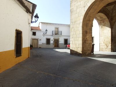
Arroyomolinos, human settlement in Cáceres Province, Extremadura, Spain
Location: Cáceres Province
Elevation above the sea: 400 m
Part of: Mancomunitat «Alconavarr», Mancomunitat d'Aigües del Ayuela espanyol, Mancomunitat Integral Sierra de Montánchez
Shares border with: Alcuéscar, Almoharín, Montánchez, Valdemorales, Santa Amalia, Mérida
Website: http://arroyomolinos.es
GPS coordinates: 39.18556,-6.16306
Latest update: April 24, 2025 00:01
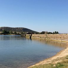
Proserpina Dam
29.8 km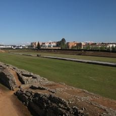
Roman Circus Maximus of Mérida
33 km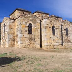
Santa Lucía de El Trampal
6.3 km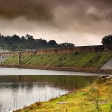
Cornalvo Dam
22.1 km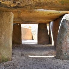
Dolmen del prado de Lácara
26.9 km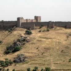
Castle of Medellín
30.2 km
Monument to Hernán Cortés
30.4 km
Cornalvo Natural Park
18.1 km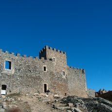
Castle of Montánchez
4.5 km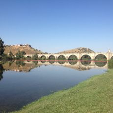
Puente de piedra, Medellín
29.8 km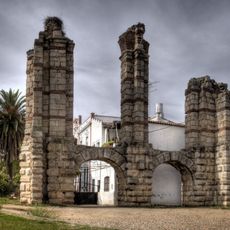
San Lázaro Roman aqueduct
32.8 km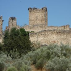
Castle of Mayoralgo
19.7 km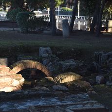
Roman baths at calle Reyes Huertas
33 km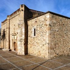
Iglesia de Nuestra Señora de la Antigua (Mérida)
32.4 km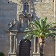
Church of Saint James the Great
22.3 km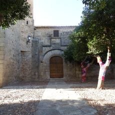
Church of Saint Martin of Tours, Aldea del Cano
17.6 km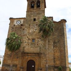
Iglesia de Santa Marina (Valverde de Mérida)
30.9 km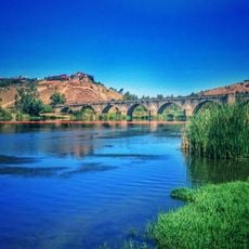
Playa de Medellín
29.9 km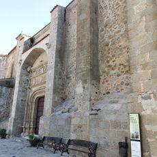
Iglesia de Nuestra Señora de la Consolación
77 m
Dolmen de Carmonita
15.7 km
Proserpina reservoir
29.6 km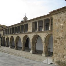
Church of El Salvador, Almoharín
10.2 km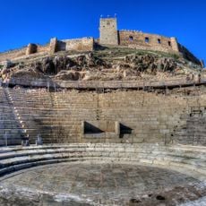
Roman Theatre of Metellinum
30.3 km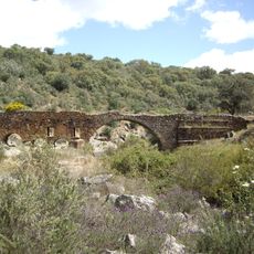
Puente Serapio
7.9 km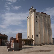
Silo de Santa Amalia
23.9 km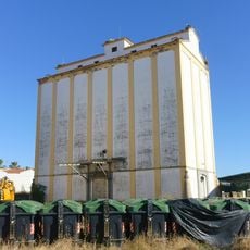
Silo de Miajadas II
21.5 km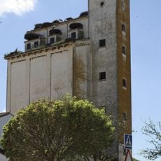
Silo of Torremocha
18.1 km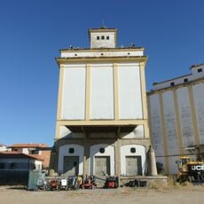
Silo de Miajadas
21.5 kmVisited this place? Tap the stars to rate it and share your experience / photos with the community! Try now! You can cancel it anytime.
Discover hidden gems everywhere you go!
From secret cafés to breathtaking viewpoints, skip the crowded tourist spots and find places that match your style. Our app makes it easy with voice search, smart filtering, route optimization, and insider tips from travelers worldwide. Download now for the complete mobile experience.

A unique approach to discovering new places❞
— Le Figaro
All the places worth exploring❞
— France Info
A tailor-made excursion in just a few clicks❞
— 20 Minutes