Enable Location

We need your location to show you interesting places around you

Discover nearby places

Find interesting locations and hidden gems around you

Precise directions

Get accurate directions and distances to places

Your location is never shared with other users. It's only used when you tap the location button.

Grazalema

Log in to your account

Start exploring — it's free

Trusted by 67,723 travelers worldwide

Continue with Google
Continue with Apple
or

We will send you a code to connect

By continuing, you accept our Terms and Conditions and our Privacy Policy

Check your inbox

We've sent a pincode in your inbox. Please enter the code below.

Discussion Reviews 5 Photos
44.6k Popularity

Grazalema, Mountain municipality in Sierra de Grazalema Natural Park, Spain.

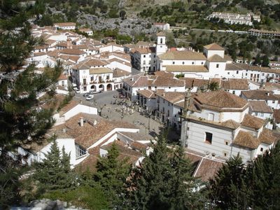
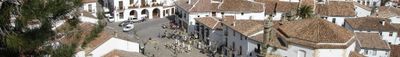
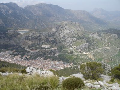
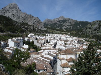
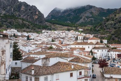
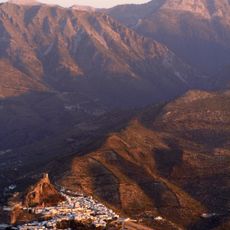
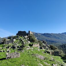
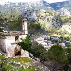
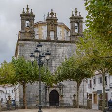
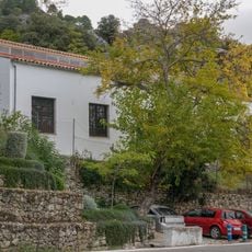
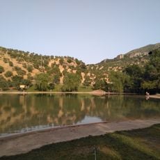
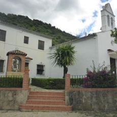
Grazalema is a mountain settlement in Sierra de Grazalema that sits at 812 meters elevation, with whitewashed houses arranged tightly around narrow lanes and plazas. Limestone peaks encircle the village closely, dominating the surrounding landscape.

The settlement traces back to a Roman villa called Lacidulia, but was later refounded in the 8th century by North African settlers who named it Raisa lami Suli. This mixing of cultures marked the village's early history.

The village keeps its wool-making traditions alive through workshops where craftspeople weave blankets and ponchos by hand. This craft work shapes daily life and remains central to the community's identity.

The tourist office at the main plaza hands out maps and provides information about the park and access to walking routes. Shops throughout the village sell local handcrafted items like leather goods and pottery.

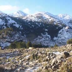
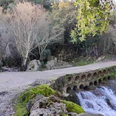
The mountains encircling the village act as a natural barrier that traps Atlantic weather systems, creating unusually heavy rainfall. This makes the area one of the wettest zones in southern Spain.

The community of curious travelers

AroundUs brings together thousands of curated places, local tips, and hidden gems, enriched daily by 60,000 contributors worldwide.

Start exploring
Location
Capital city
Grazalema
Elevation above the sea
812 m
Part of
Arcos de la Frontera notary district, Mancomunidad de Municipios de la Sierra de Cádiz, Sierra de Cádiz
Shares border with
Villaluenga del Rosario, Benaocaz, El Bosque, Prado del Rey, Zahara de la Sierra, El Gastor, Ronda, Montejaque, Montecorto
GPS coordinates
36.75864,-5.36924
Latest update
December 14, 2025 20:33
Reviews
Share your experience

No review yet

Discussions
Start a discussion...

No discussion yet

« Grazalema - Mountain municipality in Sierra de Grazalema Natural Park, Spain » is provided by Around Us (aroundus.com). Images and texts are derived from Wikimedia project under a Creative Commons license. You are allowed to copy, distribute, and modify copies of this page, under the conditions set by the license, as long as this note is clearly visible.

Discover hidden gems everywhere you go!

From secret cafés to breathtaking viewpoints, skip the crowded tourist spots and find places that match your style. Our app makes it easy with voice search, smart filtering, route optimization, and insider tips from travelers worldwide. Download now for the complete mobile experience.

Around Us App Screenshot

A unique approach to discovering new places

Le Figaro

All the places worth exploring

France Info

A tailor-made excursion in just a few clicks

20 Minutes

Around Us
Travel Guide & Maps
Download

Send to your phone

QR Code
1

Open the camera app on your mobile.

2

Point at the QR code with your camera. A notification will appear.

3

Tap the notification to open the link.