
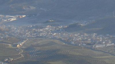
Campillo de Arenas, municipality of Spain
Location: Jaén Province
Elevation above the sea: 864 m
Part of: districte notarial de Jaén, Sierra Mágina
Shares border with: Cárcheles, Cambil, Noalejo, Valdepeñas de Jaén, Jaén, Pegalajar
Website: http://campillodearenas.org
GPS coordinates: 37.55531,-3.63546
Latest update: March 6, 2025 12:54
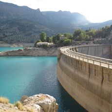
Pantano del Quiebrajano
10.8 km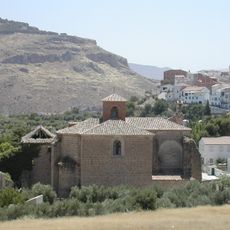
Convent of Santo Domingo, La Guardia de Jaén
21.7 km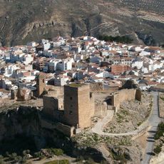
Castillo de La Guardia
21.6 km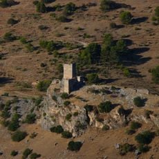
Castillo de Otíñar
16.3 km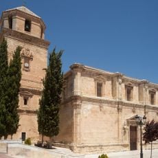
Iglesia de la Inmaculada Concepción
18.7 km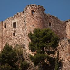
Castillo de Huelma
18.7 km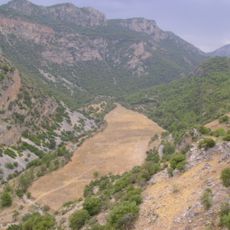
Arte rupestre de los valles de Otíñar
17.5 km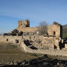
Castillo de Matabejid
20 km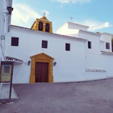
Sanctuary of Our Lady of the Holy Fountain (Huelma)
19.6 km
Quejigo del Amo
9.2 km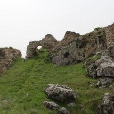
Castillo de Arenas
4.3 km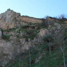
Castillo de Cambil
14.9 km
Castillo de Alhabar
15 km
Castillo de Cárchel
10.7 km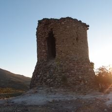
Torre de la Cabeza
17.5 km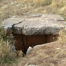
Dolmen del Collado de los Bastianes
19 km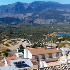
Huerta de Pegalajar
20 km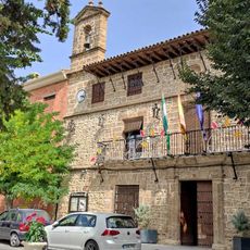
Ayuntamiento
3.3 km
Castillo (Montejícar)
11.4 km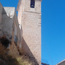
Torre del Homenaje del Castillo
20.5 km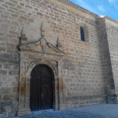
Parroquia de la Santa Cruz
20.6 km
Recinto amurallado
18.7 km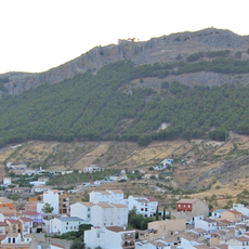
Abrigos La Serrezuela
20.8 km
Arco de la Encarnación
20.5 km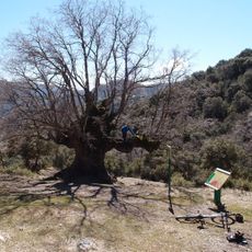
Quejigo del Amo o del Carbón
9.2 km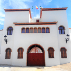
Plaza de toros de Pegalajar
20.7 km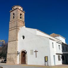
Iglesia de Nuestra Señora de la Asunción
3.3 km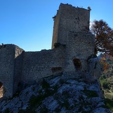
Paisaje de Otíñar
16.5 kmVisited this place? Tap the stars to rate it and share your experience / photos with the community! Try now! You can cancel it anytime.
Discover hidden gems everywhere you go!
From secret cafés to breathtaking viewpoints, skip the crowded tourist spots and find places that match your style. Our app makes it easy with voice search, smart filtering, route optimization, and insider tips from travelers worldwide. Download now for the complete mobile experience.

A unique approach to discovering new places❞
— Le Figaro
All the places worth exploring❞
— France Info
A tailor-made excursion in just a few clicks❞
— 20 Minutes