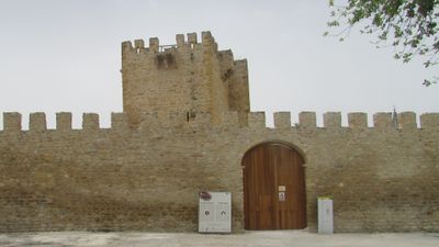
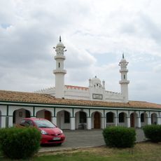
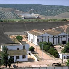
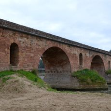
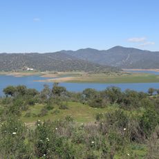
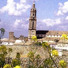
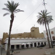
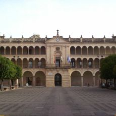
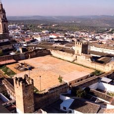
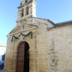
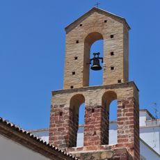
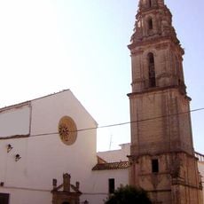
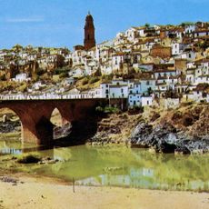
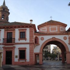
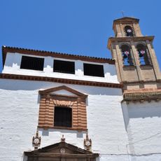
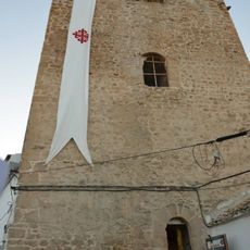
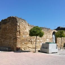
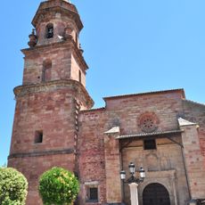
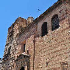
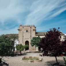
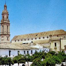
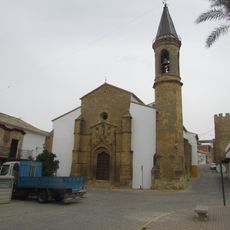
Lopera, municipality of Spain
Location: Jaén Province
Capital city: Lopera
Elevation above the sea: 276 m
Part of: distrito notarial de Andújar, Campiña de Jaén
Shares border with: Bujalance, Villa del Río, Montoro, Marmolejo, Arjona, Porcuna, Cañete de las Torres
GPS coordinates: 37.94555,-4.21423
Latest update: March 11, 2025 12:09
Basharat Mosque
21.8 km
Fábrica de uranio de Andújar
16.1 km
Puente Romano
16.6 km
Embalse del Yeguas
13.9 km
Iglesia de Santa María de la Asunción
15.8 km
Castillo
209 m
Iglesia de San Bartolomé Apóstol
17.2 km
Town hall of Andújar
17.3 km
Alcazaba (Bujalance)
15.8 km
Iglesia y restos del Convento de San Benito
8.7 km
Iglesia de Santa Marina
17.3 km
Church of San Francisco, Bujalance
15.8 km
Puente sobre el Guadalquivir
17.1 km
Centro Histórico de Andújar
17.6 km
Convento de la Inmaculada Concepción
17.6 km
Torre del homenaje del antiguo castillo
17 km
Torreón de la Tercia
19.4 km
Iglesia de San Miguel
17.4 km
Church of Santa María, Andújar
17.2 km
Castillo
12.7 km
Ayuntamiento de Montoro
17.2 km
Muralla urbana
17.3 km
Iglesia de Santa María de la Mota
17.3 km
Iglesia del Carmen
17.2 km
Silos of Porcuna
8.9 km
Silo de Porcuna
8.9 km
Torre de la Catedral de la Campiña
15.8 km
Iglesia de la Inmaculada Concepción, Lopera
167 mReviews
Visited this place? Tap the stars to rate it and share your experience / photos with the community! Try now! You can cancel it anytime.
Discover hidden gems everywhere you go!
From secret cafés to breathtaking viewpoints, skip the crowded tourist spots and find places that match your style. Our app makes it easy with voice search, smart filtering, route optimization, and insider tips from travelers worldwide. Download now for the complete mobile experience.
A unique approach to discovering new places❞
— Le Figaro
All the places worth exploring❞
— France Info
A tailor-made excursion in just a few clicks❞
— 20 Minutes