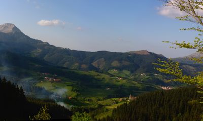
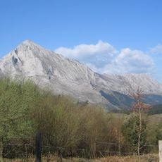
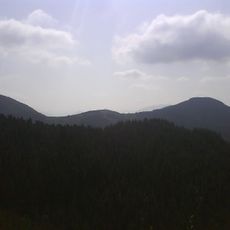
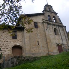
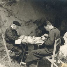
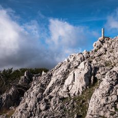
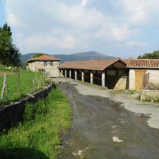
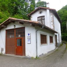
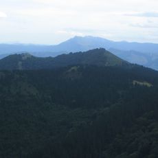
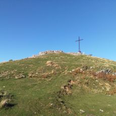
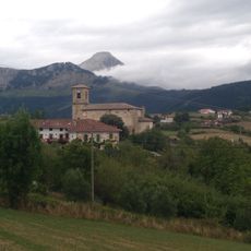
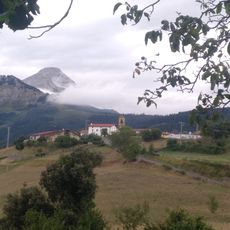
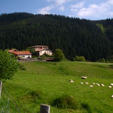
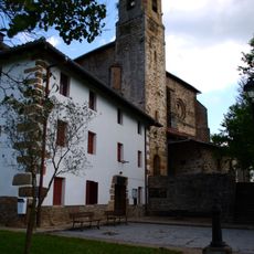
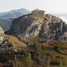
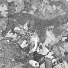
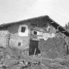
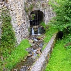
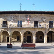
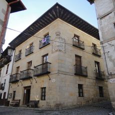
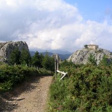
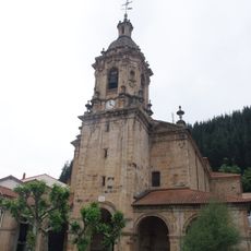
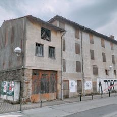
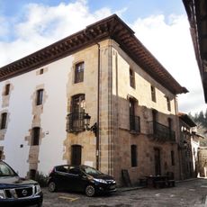
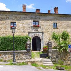
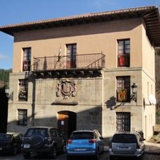
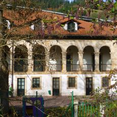
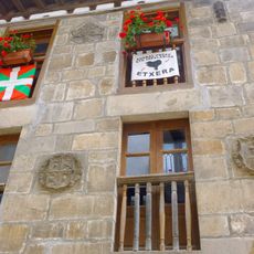
Aramaio, municipality of Spain
Location: Gorbeialdea
Capital city: Aramaio
Elevation above the sea: 333 m
Part of: UEMA - Udalerri Euskaldunen Mankumunitatea
Shares border with: Legutio, Otxandio, Abadiño, Atxondo, Elorrio, Arrasate/Mondragón, Aretxabaleta, Eskoriatza, Leintz-Gatzaga
Website: http://aramaio.org
GPS coordinates: 43.03520,-2.58566
Latest update: March 5, 2025 18:21
Anboto
5.9 km
Besaide
6.7 km
Nuestra Señora de Dorleta
6.1 km
Lezetxiki
6.1 km
Orisol
2.7 km
Etxaguen (elizate)
2.6 km
Museo de la sal de Léniz
6 km
Tellamendi
4.1 km
Murugain
5 km
Azcoaga
2.5 km
Barajuén
2.6 km
Ganzaga
3.3 km
Uncella
3.9 km
Aitzorrotz
5.2 km
Arexola
1 km
Caserío Salturri
2.3 km
Museo de la sal, Leintz-Gatzaga
6 km
Town hall of Otxandio
5.7 km
Garro Jauregia
5.6 km
Aitzorrotzeko Gurutze Santuaren ermita
4.9 km
Iglesia De Santa Marina
5.6 km
Church of San Pedro, Eskoriatza
5.1 km
Otxandioko Gaztetxea
5.6 km
Hotel Palacio Soran
5.6 km
Elexalde Jauregia
5.5 km
Town hall of Leintz-Gatzaga
5.6 km
Gaztañadui jauregia
5.2 km
Kapitangoa Jauregia
5.6 kmReviews
Visited this place? Tap the stars to rate it and share your experience / photos with the community! Try now! You can cancel it anytime.
Discover hidden gems everywhere you go!
From secret cafés to breathtaking viewpoints, skip the crowded tourist spots and find places that match your style. Our app makes it easy with voice search, smart filtering, route optimization, and insider tips from travelers worldwide. Download now for the complete mobile experience.
A unique approach to discovering new places❞
— Le Figaro
All the places worth exploring❞
— France Info
A tailor-made excursion in just a few clicks❞
— 20 Minutes