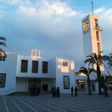
Vícar, Administrative municipality at Sierra de Gador foothills, Spain.
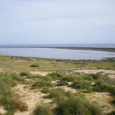
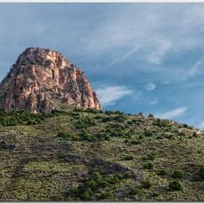
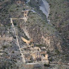
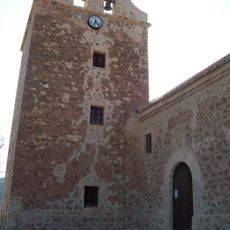
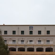
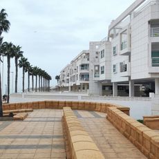
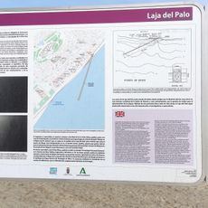
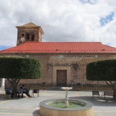
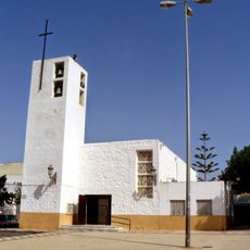
Vícar is a municipality situated at the foothills of Sierra de Gádor in southern Spain, covering an area of about 64 square kilometers. The municipal territory includes several settlements such as La Gangosa, La Puebla de Vícar, and Vícar Viejo, which together form the present-day administrative division.
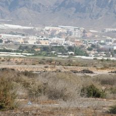
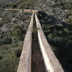
The municipality underwent significant change after 1972 with the introduction of greenhouse agriculture to the region. This shift from traditional mountain-based farming marked a turning point in how the territory developed and how people worked the land.
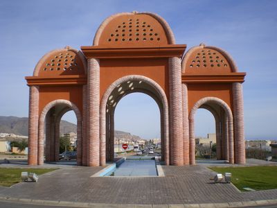
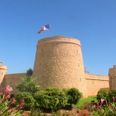
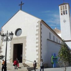
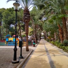
Community life revolves around local celebrations and gatherings that happen throughout the year, bringing neighbors together. The library and various meetings create spaces where residents engage with their town and maintain their connection to the place.
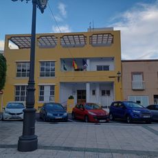
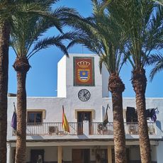
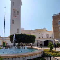
Local administrative services are centered at the Ayuntamiento, which offers digital platforms to handle various procedures and services. When exploring the different settlements, take time to move between them and understand how each area is organized and functions.
The southern slopes are covered with extensive greenhouse operations that supply a major portion of Spain's vegetable production. This intensive farming presence transforms the entire landscape and makes the region a key player in Europe's food supply chain.
The community of curious travelers
AroundUs brings together thousands of curated places, local tips, and hidden gems, enriched daily by 60,000 contributors worldwide.