
La Mojonera, municipality of Spain
Location: Almería Province
Inception: 1958
Capital city: La Mojonera
Elevation above the sea: 40 m
Part of: Notarial District of Almería, Poniente Almeriense
Shares border with: El Ejido, Vícar, Roquetas de Mar
GPS coordinates: 36.75227,-2.68379
Latest update: March 9, 2025 13:21

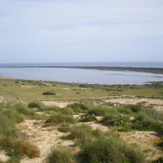
Punta Entinas-Sabinar
6 km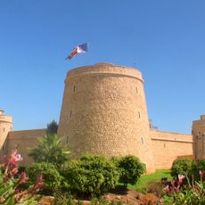
Castillo de Santa Ana
6.9 km
Ribera de la Algaida
9.7 km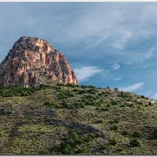
Peñón de Bernal
9.7 km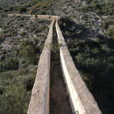
Acueductos de la rambla de Carcauz
8.5 km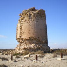
Torre de Cerrillos
6.2 km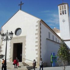
Iglesia del Rosario, Roquetas de Mar
6.3 km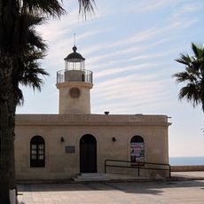
Roquetas de Mar Lighthouse
6.9 km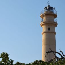
Sabinal Lighthouse
7.4 km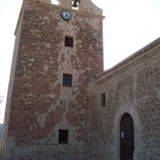
Iglesia de San Benito
9.5 km
Ermita de la Santa Cruz
6.7 km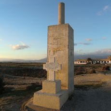
Cerrillos
6.4 km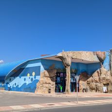
Aquarium Roquetas
7.8 km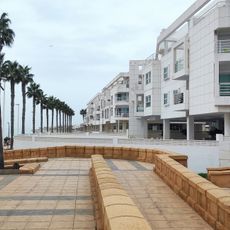
Edificio de viviendas El Faro
6.8 km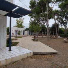
Cabañas Campamento Juvenil
10.3 km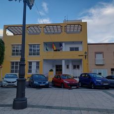
Biblioteca Pública Munipal del barrio del Parador
9.9 km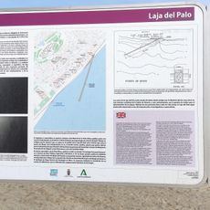
Espacio Subacuático Laja del Palo
7.3 km
Capilla abierta
6.3 km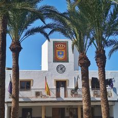
Casa consistorial de La Mojonera
401 m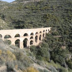
Acueducto Romano
9.7 km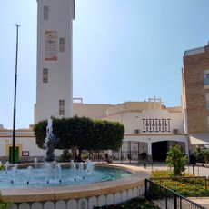
Parroquia de la asunción de nuestra señora
9.9 km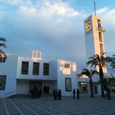
Iglesia parroquial de Nuestra Señora de la Fuensanta
362 m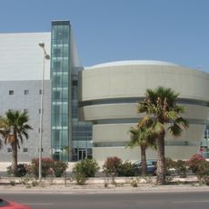
Teatro Auditorio
7 km
Centro Deportivo Urbano Juan González Fernández
9.6 km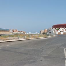
Plaza de toros de Roquetas de Mar
6.7 km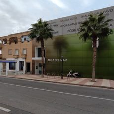
Museo Aula del Mar
6.8 km
Cerrillos
6.4 km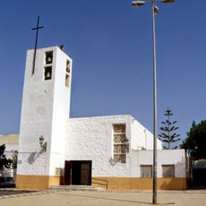
Iglesia de Las Marinas
5.2 kmVisited this place? Tap the stars to rate it and share your experience / photos with the community! Try now! You can cancel it anytime.
Discover hidden gems everywhere you go!
From secret cafés to breathtaking viewpoints, skip the crowded tourist spots and find places that match your style. Our app makes it easy with voice search, smart filtering, route optimization, and insider tips from travelers worldwide. Download now for the complete mobile experience.

A unique approach to discovering new places❞
— Le Figaro
All the places worth exploring❞
— France Info
A tailor-made excursion in just a few clicks❞
— 20 Minutes