
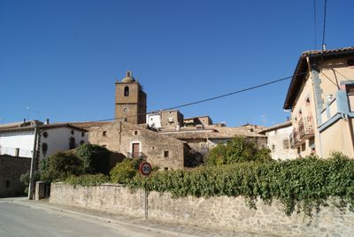
Urriés, municipality of Spain
Location: Zaragoza Province
Capital city: Urriés
Elevation above the sea: 557 m
Part of: Mancomunidad Intermunicipal «Altas Cinco Villas»
Shares border with: Sos del Rey Católico, Navardún, Undués de Lerda, Sigüés, Los Pintanos
GPS coordinates: 42.51925,-1.12902
Latest update: March 11, 2025 12:15
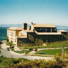
Monastery of Leyre
13.4 km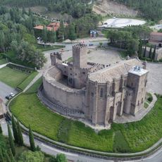
Castle of Xabier
11 km
Yesa Reservoir
11.2 km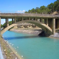
Canal de Bardenas
11.7 km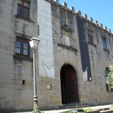
Palacio de los Sada
7.6 km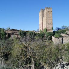
Castle of Ruesta
8.9 km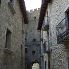
Muralla de Sos del Rey Católico
7.5 km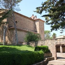
Church and abbey of Javier
10.9 km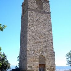
Castle of Peña Felizana
7.5 km
Portal de las Brujas
10.7 km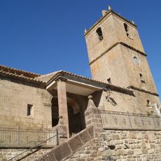
Iglesia de San Esteban
36 m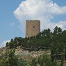
Castle in Navardún
1.4 km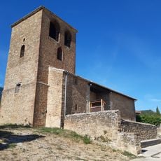
Antigua iglesia de San Sebastián
12.8 km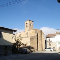
Iglesia de San Esteban
15.6 km
Torre de los Pomar
15.6 km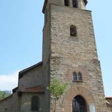
San Esteban (Yesa)
12.7 km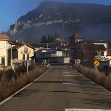
Sigüés
15.6 km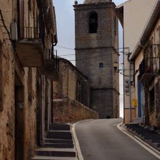
Church os San Millan
7.1 km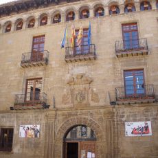
Casa de la Villa, Sos del Rey Católico
7.5 km
Casa natal de Ramón y Cajal (Petilla)
7.1 km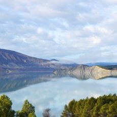
Presa de Yesa
11.6 km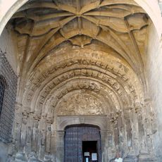
Iglesia de San Esteban
7.5 km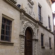
Palacio Español de Niño
7.6 km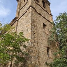
Iglesia de San Miguel
10.7 km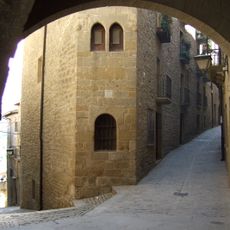
Casa Santángel
7.5 km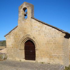
Hermitage of Santa Lucía, Sos del Rey Católico
7.4 km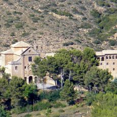
Sanctuary of Nuestra Señora de Valentuñana
6.5 km
Joseph Calasanctius church
7.5 kmVisited this place? Tap the stars to rate it and share your experience / photos with the community! Try now! You can cancel it anytime.
Discover hidden gems everywhere you go!
From secret cafés to breathtaking viewpoints, skip the crowded tourist spots and find places that match your style. Our app makes it easy with voice search, smart filtering, route optimization, and insider tips from travelers worldwide. Download now for the complete mobile experience.

A unique approach to discovering new places❞
— Le Figaro
All the places worth exploring❞
— France Info
A tailor-made excursion in just a few clicks❞
— 20 Minutes