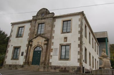
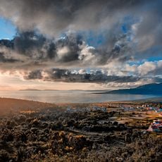
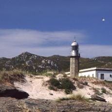
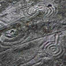
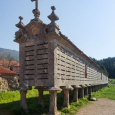
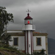
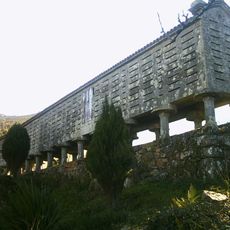
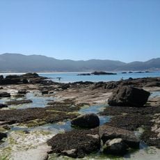
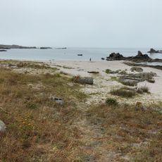
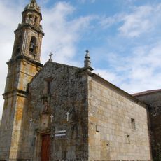
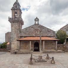
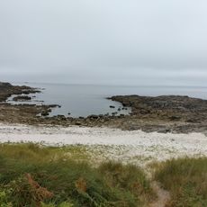
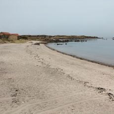
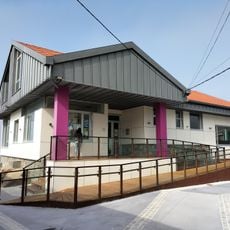
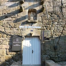
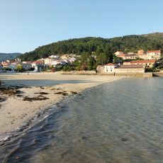
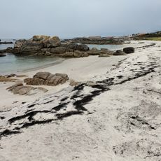
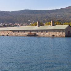
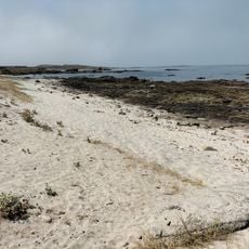
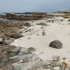
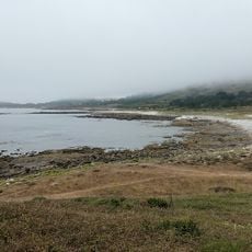
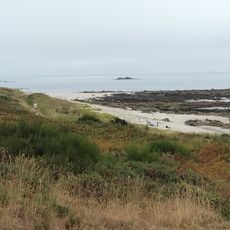
Carnota, municipality of Spain
Location: A Coruña Province
Capital city: Carnota
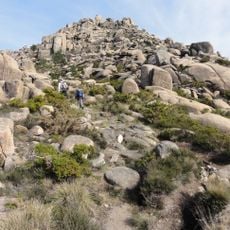
Elevation above the sea: 700 m
Part of: Mancomunidade de Auga dos Concellos de Carnota e Muros, intermunicipalité de la Serra do Barbanza, Mancomunidade «Xallas-Tines-Tambre»
Shares border with: Muros, Mazaricos, Dumbría
Website: http://concellocarnota.com
GPS coordinates: 42.82111,-9.08722
Latest update: March 10, 2025 15:38
Fervenza do Ézaro
10.5 km
Mount Pindo
7.8 km
Islas Lobeiras
8.3 km
Laxe das Rodas
5.9 km
Beach of Carnota
1.8 km
Faro de Punta Insua
6.2 km
Cova da Bruxa
2 km
Hórreo de Carnota
313 m
Castelo de San Xurxo
7.4 km
Beacon of Rebordiño
6.5 km
Hórreo de Lira
4 km
Caldebarcos
4.3 km
Beach of Insuela
4.9 km
Church of San Mamede of Carnota
3.6 km
Church of San Pedro de Muros
5.9 km
City walls of Muros
5.9 km
A Pena Forcada
1.5 km
Susiños
5.2 km
Quilmas
8.1 km
Biblioteca Pública Municipal de Dumbría - Ézaro
10.3 km
Biblioteca del Centro Social de Muros
5.7 km
Praia da Rocha
4.5 km
Gabota
5.1 km
O Pozo do Cachón tide mill
4.3 km
Tras de Punta
4.7 km
Porto Ancho
4.9 km
Porto dos Botes
6 km
Sureseco
5.6 kmVisited this place? Tap the stars to rate it and share your experience / photos with the community! Try now! You can cancel it anytime.
Discover hidden gems everywhere you go!
From secret cafés to breathtaking viewpoints, skip the crowded tourist spots and find places that match your style. Our app makes it easy with voice search, smart filtering, route optimization, and insider tips from travelers worldwide. Download now for the complete mobile experience.
A unique approach to discovering new places❞
— Le Figaro
All the places worth exploring❞
— France Info
A tailor-made excursion in just a few clicks❞
— 20 Minutes