Enable Location

We need your location to show you interesting places around you

Discover nearby places

Find interesting locations and hidden gems around you

Precise directions

Get accurate directions and distances to places

Your location is never shared with other users. It's only used when you tap the location button.

Montoro

Log in to your account

Start exploring — it's free

Trusted by 62,630 travelers worldwide

Continue with Google
Continue with Apple
or

We will send you a code to connect

By continuing, you accept our Terms and Conditions and our Privacy Policy

Check your inbox

We've sent a pincode in your inbox. Please enter the code below.

Montoro, Municipality at Alto Guadalquivir region, Spain

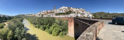
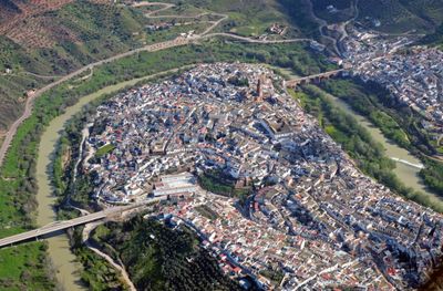
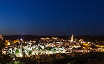
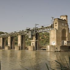
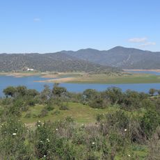
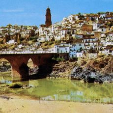
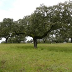
Montoro sits along a pronounced bend of the Guadalquivir River on a hillside in Córdoba Province, positioned at about 195 meters elevation. The town spreads across the slope with the river curving around it below.

The settlement began as the Roman city Epora, a federated town in the Conventus Cordubensis, and later became a municipium under Augustus. This early importance shaped where and how the place developed over the following centuries.

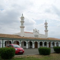
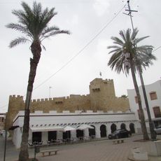
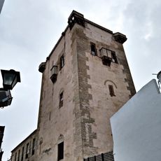
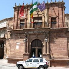
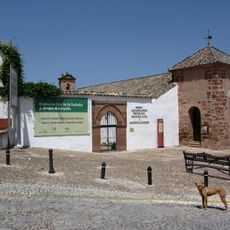
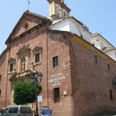
The town received recognition as a historic site in 1969, preserving its medieval streets and Renaissance buildings throughout the center. These structures shape how the place looks and feels when you walk through it today.

Direct road connections link the town to Córdoba, located about 45 kilometers southwest, with regular services to major nearby cities. The main facilities and accommodations sit in the center, making the old town easy to explore on foot.

In August 2021, the town recorded one of Spain's highest temperatures at 47.4 degrees Celsius, marking a significant weather milestone. This event demonstrates how extreme summer heat can reach in this part of the country.

The community of curious travelers

AroundUs brings together thousands of curated places, local tips, and hidden gems, enriched daily by 60,000 contributors worldwide.

Start exploring
Capital city
Montoro
Elevation above the sea
195 m
Part of
notarsko okrožje Córdoba, Mancomunitat «Comarca Cordobesa Alto Guadalquivir», Mancomunidad de Municipios de la Sierra Morena Cordobesa, Alto Guadalquivir
Shares border with
Adamuz, Cardeña, Andújar, Marmolejo, Lopera, Villa del Río, Bujalance, Pedro Abad
GPS coordinates
38.02167,-4.38281
Latest update
December 20, 2025 12:14
« Montoro - Municipality at Alto Guadalquivir region, Spain » is provided by Around Us (aroundus.com). Images and texts are derived from Wikimedia project under a Creative Commons license. You are allowed to copy, distribute, and modify copies of this page, under the conditions set by the license, as long as this note is clearly visible.

Discover hidden gems everywhere you go!

From secret cafés to breathtaking viewpoints, skip the crowded tourist spots and find places that match your style. Our app makes it easy with voice search, smart filtering, route optimization, and insider tips from travelers worldwide. Download now for the complete mobile experience.

Around Us App Screenshot

A unique approach to discovering new places

Le Figaro

All the places worth exploring

France Info

A tailor-made excursion in just a few clicks

20 Minutes

Around Us
Travel Guide & Maps
Download

Send to your phone

QR Code
1

Open the camera app on your mobile.

2

Point at the QR code with your camera. A notification will appear.

3

Tap the notification to open the link.