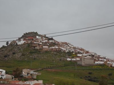
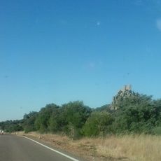
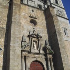
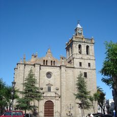
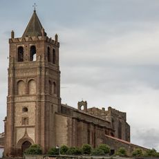
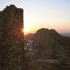
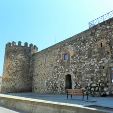
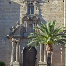
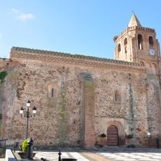
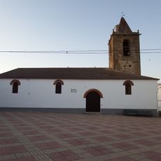
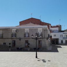
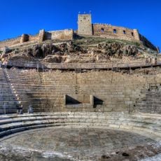
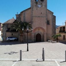
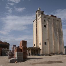
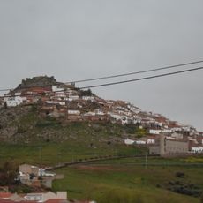
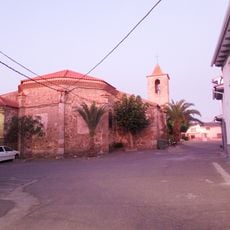
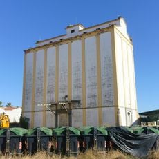
Magacela, municipality of Spain
Location: Badajoz Province
Capital city: Magacela
Elevation above the sea: 485 m
Part of: Mancomunitat de Serveis La Serena-Vegas Altas francès, Mancomunitat d'Aigües de La Coronada, La Haba et Magacela francès
Shares border with: La Coronada, Campanario, La Haba, Villanueva de la Serena
Website: http://magacela.es
GPS coordinates: 38.89563,-5.73444
Latest update: March 9, 2025 15:37
La Serena Reservoir
27.9 km
Cancho Roano
22 km
Embalse de Orellana
19.8 km
Castle of Medellín
20.8 km
Monument to Hernán Cortés
20.8 km
Encomienda Castle
14.6 km
Castillo de Magacela
344 m
Puente de piedra, Medellín
21.3 km
Dolmen of Magacela
759 m
Don Benito bullring
14.5 km
Castle of Almorchón
42.7 km
Church of Saint James the Great
12.8 km
Iglesia de Nuestra Señora de la Asunción
10.4 km
Nuestra Señora de Gracia Parish Church
41.4 km
Castillo de Benquerencia de la Serena
30.2 km
Castillo de Orellana la Vieja
20.8 km
Church of Saint James the Great
32.3 km
Iglesia de Santa Olalla
41.1 km
Iglesia de Santa Catalina de Alejandría, Alcollarín
38.8 km
Esparragosa de Lares
41.2 km
Roman Theatre of Metellinum
20.7 km
Iglesia de Santa Catalina de Alejandría, Esparragosa de Lares
29.5 km
Silo de Santa Amalia
26.7 km
Silo de Don Benito
13.6 km
Conjunto Histórico de Magacela
261 m
Church of San Juan Bautista, Abertura
39.3 km
Silo de Miajadas II
32.1 km
Silo de Miajadas
32.1 kmReviews
Visited this place? Tap the stars to rate it and share your experience / photos with the community! Try now! You can cancel it anytime.
Discover hidden gems everywhere you go!
From secret cafés to breathtaking viewpoints, skip the crowded tourist spots and find places that match your style. Our app makes it easy with voice search, smart filtering, route optimization, and insider tips from travelers worldwide. Download now for the complete mobile experience.
A unique approach to discovering new places❞
— Le Figaro
All the places worth exploring❞
— France Info
A tailor-made excursion in just a few clicks❞
— 20 Minutes