
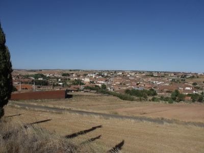
Andavías, municipality of Zamora Province, Spain
Location: Zamora Province
Capital city: Andavías
Elevation above the sea: 693 m
Part of: Mancomunitat «Tierra del Pan»
Shares border with: Zamora, Palacios del Pan, Montamarta, La Hiniesta
Website: http://andavias.com
GPS coordinates: 41.59800,-5.85548
Latest update: March 3, 2025 02:18
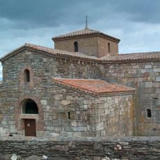
San Pedro de la Nave
9.2 km
Viaduct of Martín Gil
6.6 km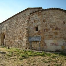
Church of Santiago de los Caballeros, Zamora
13.6 km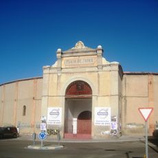
Plaza de toros de Zamora
13.4 km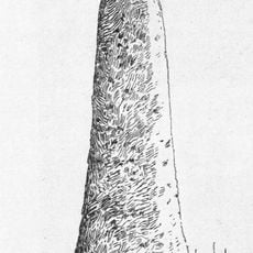
Cruz del Rey Don Sancho
11.8 km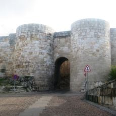
Gate of Doña Urraca
13.7 km
Museo Baltasar Lobo
13.7 km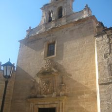
Church of San Torcuato, Zamora
13.7 km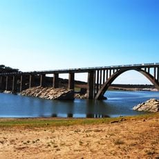
Bridge of La Estrella of 1933
12.2 km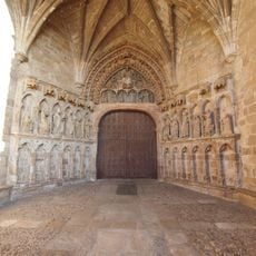
Church of Santa María la Real, La Hiniesta
7 km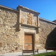
Centro Cultural Palacio de La Alhóndiga
13.6 km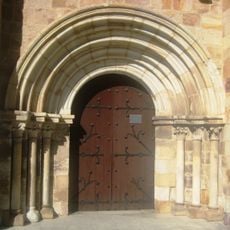
Church of San Esteban, Zamora
13.7 km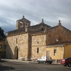
Church of the Espiritu Santo, Zamora
13.3 km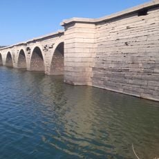
Bridge of La Estrella of 1869
13.1 km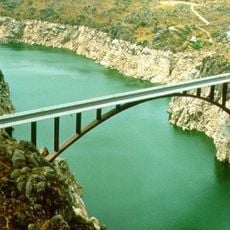
Ricobayo Arch Bridge
12.4 km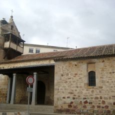
Iglesia de San Antolín (Zamora)
13.7 km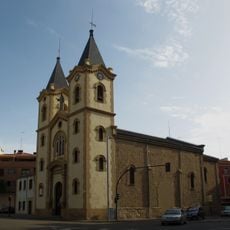
Church of San Lázaro, Zamora
13.4 km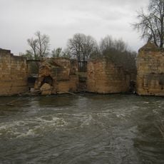
Aceñas de Gijón
13.1 km
Stonecutter marks in Nª Sª de los Remedios shrine, Zamora
13.6 km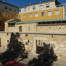
Ermita de la Virgen de la Vega
13.7 km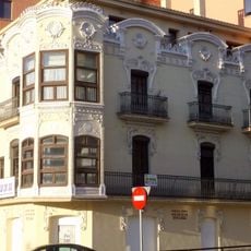
Casa Tejedor
13.6 km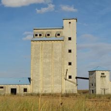
Silo of Piedrahíta de Castro
14 km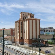
Silo of Zamora
13.1 km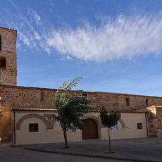
Church of La Asunción, Cubillos
10 km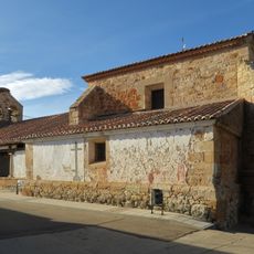
Church of San Pedro
12.8 km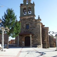
Church of Saint Michael, Andavías
124 m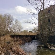
Aceñas de los Pisones
12.2 km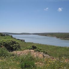
Ricobayo Reservoir
11.9 kmReviews
Visited this place? Tap the stars to rate it and share your experience / photos with the community! Try now! You can cancel it anytime.
Discover hidden gems everywhere you go!
From secret cafés to breathtaking viewpoints, skip the crowded tourist spots and find places that match your style. Our app makes it easy with voice search, smart filtering, route optimization, and insider tips from travelers worldwide. Download now for the complete mobile experience.

A unique approach to discovering new places❞
— Le Figaro
All the places worth exploring❞
— France Info
A tailor-made excursion in just a few clicks❞
— 20 Minutes