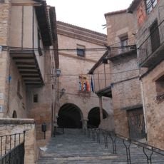
Torre de Arcas, Administrative division in Aragon, Spain
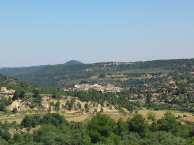
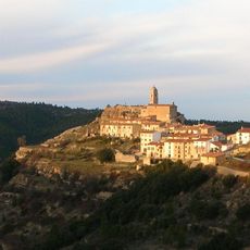
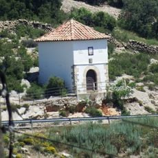
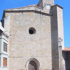
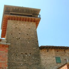
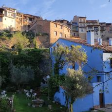
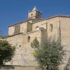
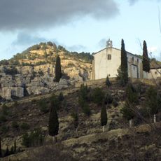
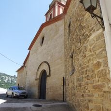
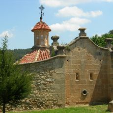
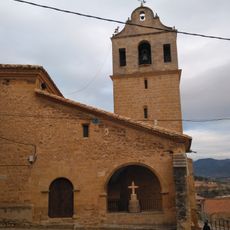
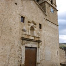
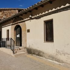
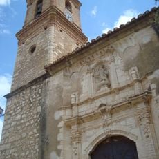
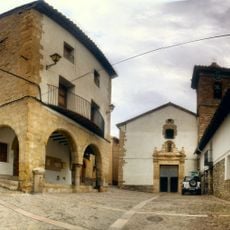
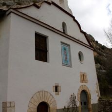
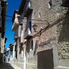
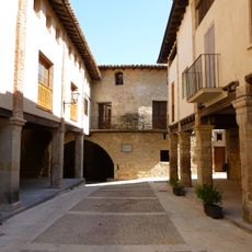
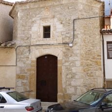
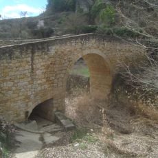
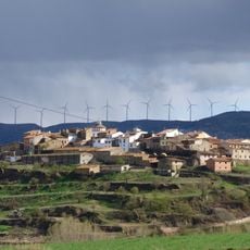
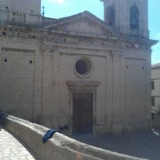
Torre de Arcas stands at an elevation of 945 meters above sea level within the Teruel province, covering an area of 34 square kilometers.
The municipality gained its administrative status following the Spanish Constitution of 1978, which established the framework for regional autonomy in Spain.
The residents of Torre de Arcas maintain both Catalan and Spanish languages, reflecting the linguistic diversity of the Matarranya comarca region.
The municipality, with postal code 44653, connects to neighboring towns of La Ginebrosa, La Sorollera, and Mont-roig through a network of regional roads.
The temperature in Torre de Arcas maintains an annual average of 11.5 degrees Celsius with precipitation reaching 500 millimeters per year.
GPS coordinates: 40.75179,-0.06898
Latest update: March 6, 2025 17:46
Aragon stretches across three provinces in northeastern Spain, preserving more than two thousand years of history through its monasteries, castles and medieval villages. The region displays Moorish towers in Teruel, Romanesque churches in the Pyrenees and Gothic bridges along ancient trade routes. Natural parks protect limestone canyons, caves holding prehistoric paintings and mountain ranges extending to the French border. Visitors explore fortified villages such as Albarracín and Sos del Rey Católico, where stone walls and narrow lanes tell of medieval life. The 11th-century Castillo de Loarre stands on a hilltop overlooking the Ebro valley, while Sierra de Guara Natural Park provides trails through deep gorges. Monasteries including San Juan de la Peña and Monasterio de Piedra connect religious history with surrounding landscapes, creating destinations that combine cultural heritage with natural environments.
Santuari de la Mare de Déu de la Balma
9.1 km
Herbeset
10.8 km
Castillo de Herbés
6.4 km
Ermita de la Virgen del Sargar
8.5 km
Galeria del Roure
13 km
Iglesia de Nuestra Señora de la Asunción, Ráfales
12.2 km
La Torreta de Fontdespatla
12.8 km
Hotel Restaurante El Molí de l'Hereu
12.1 km
Iglesia de San Bartolomé
14.2 km
La Mola de la Vila
15.7 km
Fuentespalda town hall
12.8 km
Church of Saint Bartholomew
6.4 km
Santuari de la Mare de Déu de Queralt
8.8 km
Església de l'Assumpció de Mont-roig de Tastavins
5.1 km
Church of the Assumption, Ortells
11.2 km
Biblioteca Pública Municipal de Monroyo
5 km
Church of the Assumption
10.1 km
Església dels Sants Joans de Villores
13.9 km
Inhóspitak
9.2 km
Ermita del Roser de Xiva de Morella
11.4 km
Castell-palau dels Peralta
8.6 km
Biblioteca Pública Municipal de Peñarroya de Tastavins
9.2 km
Conjunto Histórico Artístico la Villa de Ráfales
12.2 km
Ermita dels Dolors, Ortells
11.2 km
Puente Medieval de Torre de Arcas
148 m
Núcleo Histórico Tradicional de Zorita del Maestrazgo
8.6 km
Church of the Assumption
8.6 km
Town hall of Mont-roig de Tastavins
5.1 kmReviews
Visited this place? Tap the stars to rate it and share your experience / photos with the community! Try now! You can cancel it anytime.
Discover hidden gems everywhere you go!
From secret cafés to breathtaking viewpoints, skip the crowded tourist spots and find places that match your style. Our app makes it easy with voice search, smart filtering, route optimization, and insider tips from travelers worldwide. Download now for the complete mobile experience.
A unique approach to discovering new places❞
— Le Figaro
All the places worth exploring❞
— France Info
A tailor-made excursion in just a few clicks❞
— 20 Minutes