
Blancas, human settlement in Teruel Province, Aragon, Spain
Location: Teruel Province
Capital city: Blancas
Elevation above the sea: 1,047 m
Shares border with: El Pobo de Dueñas, Odón, Bello, Torralba de los Sisones, Caminreal, Torrijo del Campo, Monreal del Campo, Pozuel del Campo, El Pedregal
GPS coordinates: 40.81387,-1.48181
Latest update: March 23, 2025 12:03
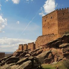
Castle of Zafra
19.1 km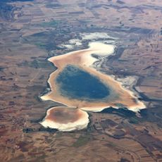
Laguna de Gallocanta
17.1 km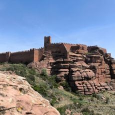
Castle of Peracense
19.7 km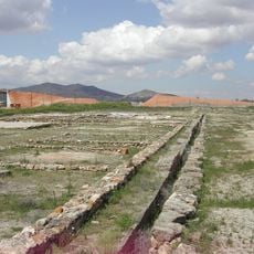
Yacimiento de La Caridad
12.5 km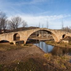
Roman bridge of Luco de Jiloca
22.4 km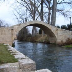
Roman bridge of Calamocha
19.2 km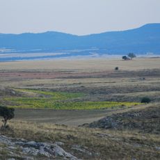
Sierra de Caldereros
20.8 km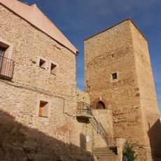
Castle of Ojos Negros
8.5 km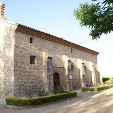
Ermita de la Virgen de los Navarros
14.9 km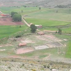
Salinas de Ojos Negros
8.2 km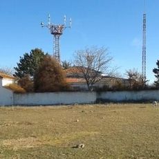
VHF omnidirectional range and Weather Observatory Calamocha VOR
15.9 km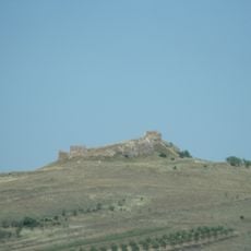
Castle of Tornos
16.3 km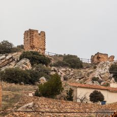
Castle of Berrueco
19.9 km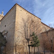
Iglesia de San Pedro Apóstol
12 m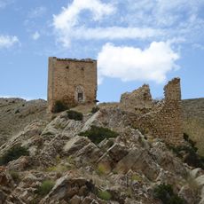
Castillo de Bueña
21.5 km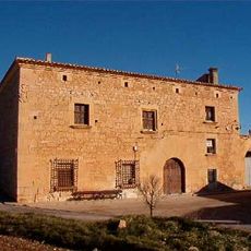
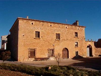
Casa Grande
146 m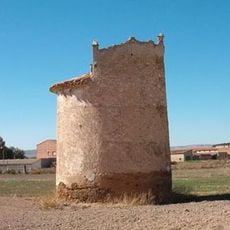
Dovecote (Fuentes Claras)
14.9 km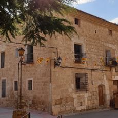
Casa Grande
14.4 km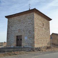
Ermita de San Pascual Bailón, Blancas
323 m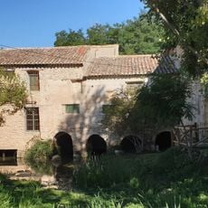
Molino de Fuentes Claras
14.2 km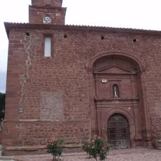
Iglesia de Santa Catalina
19.4 km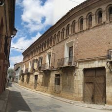
Casa Palacio de los Angulo y de los Tejada
19.4 km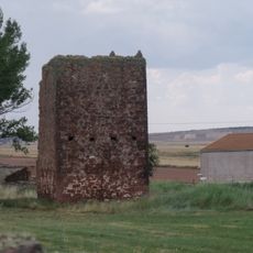
Castillo de Ródenas
19.3 km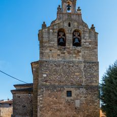
Church of Santa María la Mayor
20.4 km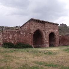
Ermita de Santa Catalina, Ródenas
19.5 km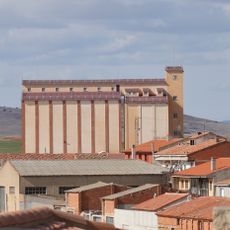
Silo of Monreal del Campo
10.7 km
Lavadero de lana del Jiloca
19.2 km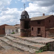
Aljibe de Ródenas
19.3 kmVisited this place? Tap the stars to rate it and share your experience / photos with the community! Try now! You can cancel it anytime.
Discover hidden gems everywhere you go!
From secret cafés to breathtaking viewpoints, skip the crowded tourist spots and find places that match your style. Our app makes it easy with voice search, smart filtering, route optimization, and insider tips from travelers worldwide. Download now for the complete mobile experience.

A unique approach to discovering new places❞
— Le Figaro
All the places worth exploring❞
— France Info
A tailor-made excursion in just a few clicks❞
— 20 Minutes