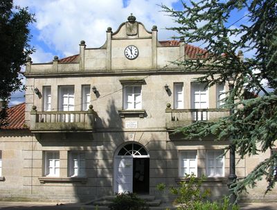
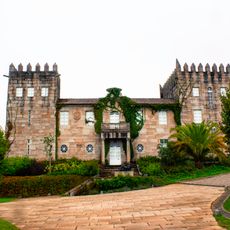
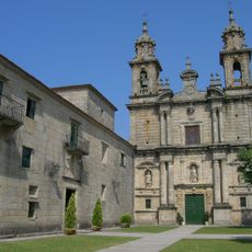
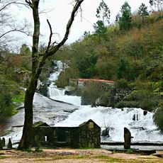
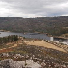
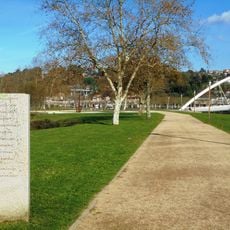
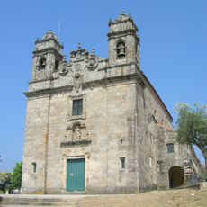
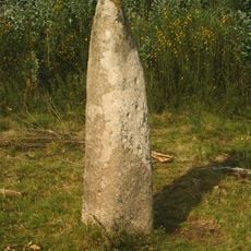
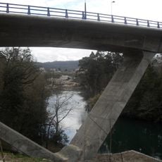
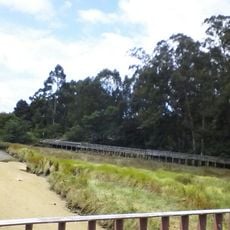
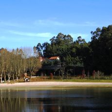
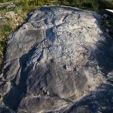
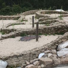
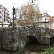
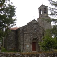
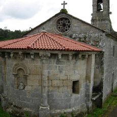
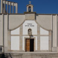
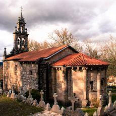
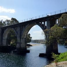
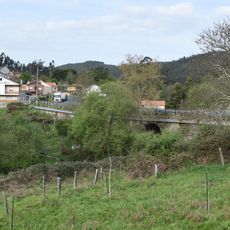
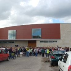
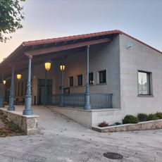
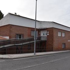
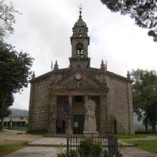
Barro, municipality of Spain
The community of curious travelers
AroundUs brings together thousands of curated places, local tips, and hidden gems, enriched daily by 60,000 contributors worldwide.
Location
Capital city
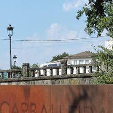
Santo Antoniño
Part of
Mancomunidade Terras de Pontevedra
Shares border with
Pontevedra, Poio, Portas, Moraña, Campo Lameiro, Meis
Website
GPS coordinates
42.52500,-8.64722
Latest update
March 4, 2025 02:42