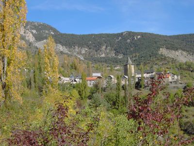
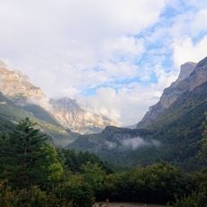
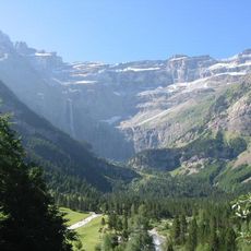
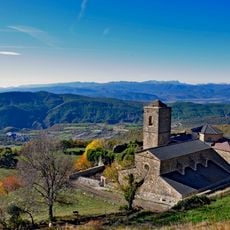
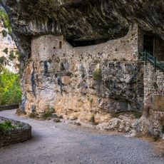
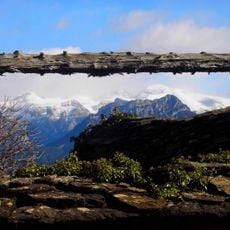
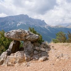
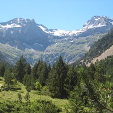
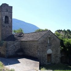
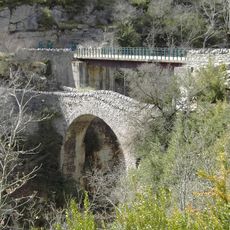
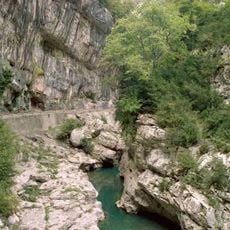
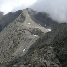
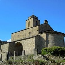
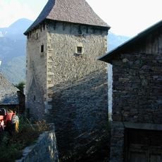
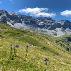
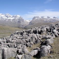
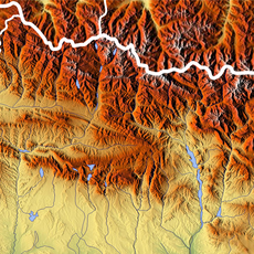
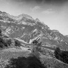
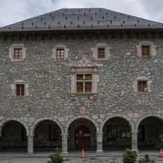
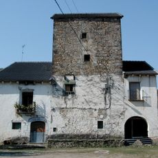
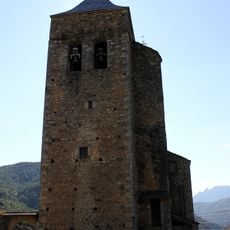
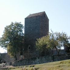
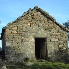
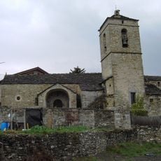
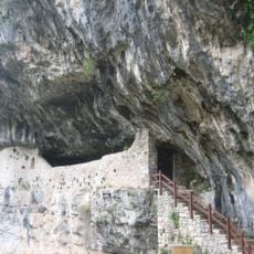
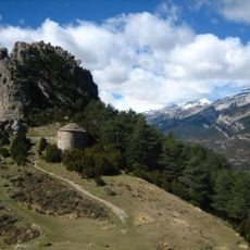
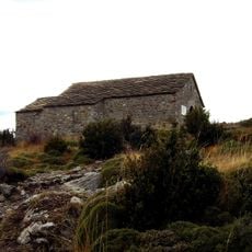
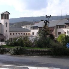
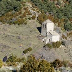
Tella-Sin, municipality in Huesca Province, Aragon, Spain
Location: Huesca Province
Capital city: Tella
Elevation above the sea: 1,384 m
Website: https://tellasin.com/
Part of: Mancomunitat de Municipis del Valle de Chistau
Shares border with: Bielsa, Plan, Aragon
Website: https://tellasin.com
GPS coordinates: 42.54389,0.19722
Latest update: March 17, 2025 06:32
Ordesa y Monte Perdido National Park
18.4 km
Pyrénées – Mont Perdu World Heritage Site
16.9 km
Real Monasterio de San Victorián
9.8 km
Ermita de San Urbez
12.2 km
Cotiella massif
10.7 km
Dolmen of Tella
4.3 km
Barrosa cirque
18.2 km
Iglesia de San Juan de Toledo de Lanata
12.6 km
Puente de San Urbez
12.2 km
Cañón del Vellos
9.4 km
Serre Mourene
20.3 km
Iglesia de San Vicente de Labuerda
11.2 km
Torre de Casa Tardán
12.3 km
Munia Glacier
20.1 km
Punta de las Olas
17.7 km
Baudrimont SE
18.4 km
Sestral Alto
11.2 km
Bielsa town hall
10.2 km
Torre de Casa el Arrendador
8.6 km
Iglesia de Santa María
348 m
Casa Buil
11.2 km
Ermita de Santa Catalina
10.4 km
Iglesia de San Miguel
12.1 km
Abrigo de la Ermita de San Úrbez
12 km
Ermita de San Juan y San Pablo
3.9 km
Ermita de Santa María de la Peña
3.6 km
Barrio del Puente de Sabiñanigo
14 km
Ermita de Santa María de Faixaniellas
3.6 kmReviews
Visited this place? Tap the stars to rate it and share your experience / photos with the community! Try now! You can cancel it anytime.
Discover hidden gems everywhere you go!
From secret cafés to breathtaking viewpoints, skip the crowded tourist spots and find places that match your style. Our app makes it easy with voice search, smart filtering, route optimization, and insider tips from travelers worldwide. Download now for the complete mobile experience.
A unique approach to discovering new places❞
— Le Figaro
All the places worth exploring❞
— France Info
A tailor-made excursion in just a few clicks❞
— 20 Minutes