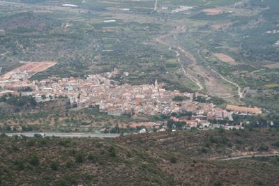
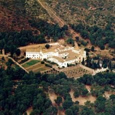
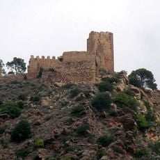
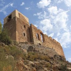
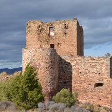
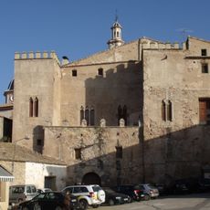
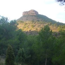
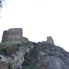
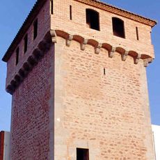
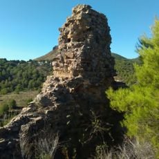
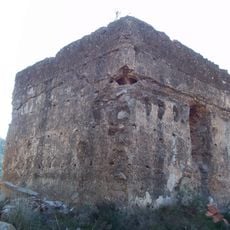
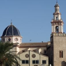
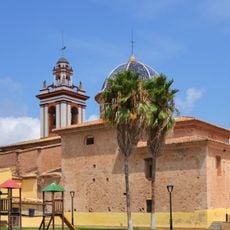
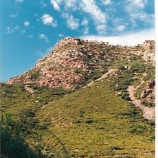
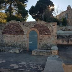
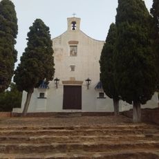
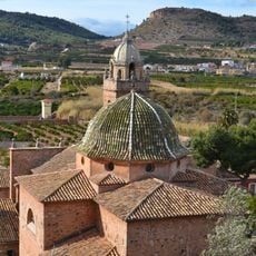
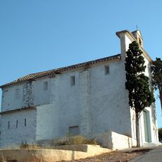
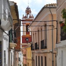
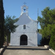
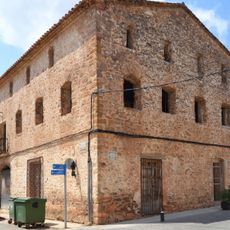
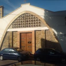
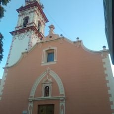
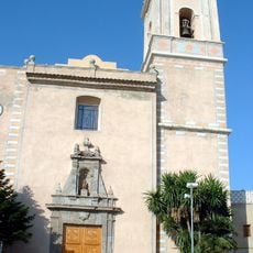
Estivella, human settlement in Camp de Morvedre, Valencia Province, Valencian Community, Spain
Location: Camp de Morvedre
Capital city: Estivella
Elevation above the sea: 125 m
Website: http://www.estivella.es
Shares border with: Albalat dels Tarongers, Sagunto, Segart, Serra, Torres Torres
Website: http://estivella.es
GPS coordinates: 39.71337,-0.34853
Latest update: March 10, 2025 09:55
Monastery of Sancti Spiritu, Gilet
5.1 km
Castell de Serra
6.6 km
Castillo de Beselga
1.7 km
La Baronía
2.4 km
Castell de Torres Torres
3.4 km
Banys àrabs de Torres Torres
3.6 km
Castle Palace, Albalat dels Tarongers
1.5 km
Església de la Immaculada de Segart
4 km
Mola de Segart
5.4 km
Segart Castle
3.9 km
Gilet Tower
4.5 km
Castell del Piló
2.2 km
Torre de Ria
6.2 km
Church of the Immaculate
1.5 km
Església de Sant Agustí d'Alfara de la Baronia
5.5 km
Puntal de l'Abella
3.8 km
Banos arabe de Torres- Torres
3.5 km
Ermita de Sant Doménec de Petrés
4.4 km
Church of Our Lady with Angels
3.5 km
Ermita del Calvari de Gilet
4.1 km
Historical area of Alfara de la Baronia
5.5 km
Ermita de la Mare de Déu dels Desemparats d'Algímia d'Alfara
4.8 km
La Casa Gran
5.4 km
Chapel of Saint Roch
1.7 km
Església parroquial dels Sants Joans
185 m
Municipal Wash House of Albalat dels Tarongers
1.6 km
Church of Saint Anthony
4.5 km
Cistern of Alfara de la Baronia
5.5 kmReviews
Visited this place? Tap the stars to rate it and share your experience / photos with the community! Try now! You can cancel it anytime.
Discover hidden gems everywhere you go!
From secret cafés to breathtaking viewpoints, skip the crowded tourist spots and find places that match your style. Our app makes it easy with voice search, smart filtering, route optimization, and insider tips from travelers worldwide. Download now for the complete mobile experience.
A unique approach to discovering new places❞
— Le Figaro
All the places worth exploring❞
— France Info
A tailor-made excursion in just a few clicks❞
— 20 Minutes