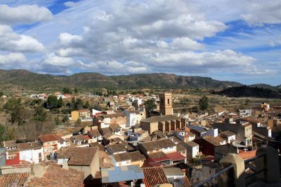
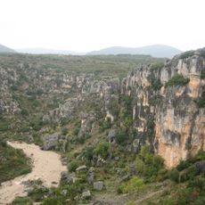
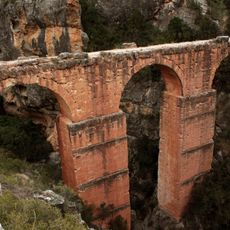
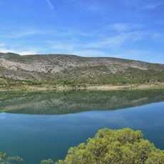
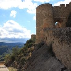
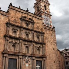
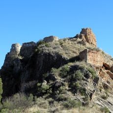
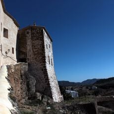
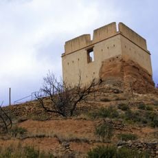
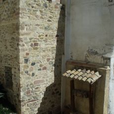
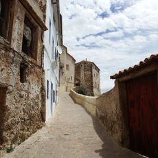
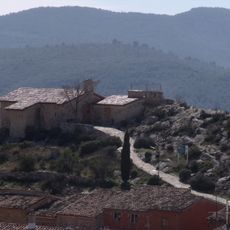
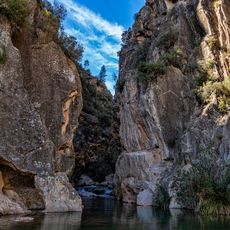
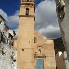
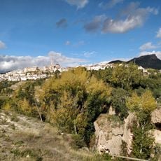
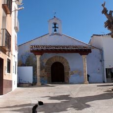
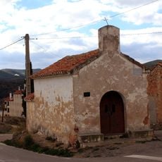
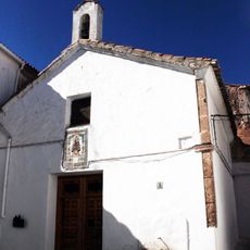
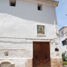
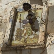
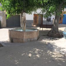
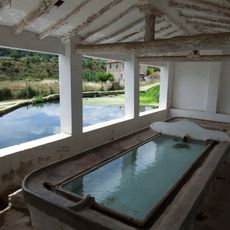
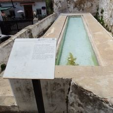
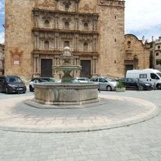
Calles, human settlement in Los Serranos, Valencia Province, Valencian Community, Spain
Location: Los Serranos
Location: Valencia Province
Capital city: Calles
Elevation above the sea: 351 m
Shares border with: Domeño, Chelva, Andilla, Higueruelas
Website: http://calles.es
GPS coordinates: 39.72556,-0.97385
Latest update: April 7, 2025 12:29
Barranco de la Valltorta
115.9 km
Acueducto de Peña Cortada
2.7 km
Loriguilla Reservoir
7.8 km
Chulilla Castle
10.3 km
Chelva Church of Our Lady of the Angels
3.2 km
Church of Our Lady of the Angels
7.1 km
Castle of Domeño
3.2 km
Castle and city walls of Chelva
3.2 km
La Torrecilla
3.6 km
Tuéjar town wall
7.1 km
Villa Medieval de Chelva y sus Huertas
3.1 km
Ermita de San Cristóbal, Tuéjar
7.1 km
La Playeta
3.9 km
Chulilla Church of Our Lady of the Angels
10.4 km
Antigua Fábrica La Luz
2.2 km
Ermita de la Santa Cruz de Chelva
2.9 km
Ermita de la Verge de Montserrat de Xelva
3.7 km
Ermita de la Virgen de los Desamparados de Chelva
2.8 km
Ermita de la Mare de Déu de la Soledat de Xelva
3.3 km
Ceramic panel of Saint Roch
3.3 km
Fuente de la Plaza del Arrabal, Chelva
3 km
Lavadero del Embarany
3.1 km
Lavadero del Arrabal II
2.8 km
Fountain in Mayor square, Chelva
3.2 km
Bullring of Chelva
3.7 km
Ceramic panel of Saint Joseph at 42 Placeta de la Teja
3.1 km
Lavadero del Querefil
3.1 km
Ceramic panel of Saint Joachim and Saint Anne at old age
3.1 kmReviews
Visited this place? Tap the stars to rate it and share your experience / photos with the community! Try now! You can cancel it anytime.
Discover hidden gems everywhere you go!
From secret cafés to breathtaking viewpoints, skip the crowded tourist spots and find places that match your style. Our app makes it easy with voice search, smart filtering, route optimization, and insider tips from travelers worldwide. Download now for the complete mobile experience.
A unique approach to discovering new places❞
— Le Figaro
All the places worth exploring❞
— France Info
A tailor-made excursion in just a few clicks❞
— 20 Minutes