Patones, Medieval mountain village in Sierra Norte, Spain
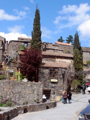
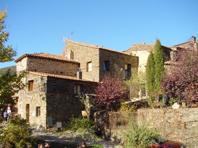
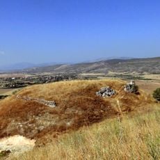
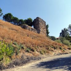
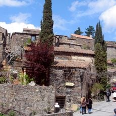
Patones comprises two settlements, with the upper village perched at 832 meters elevation featuring traditional stone architecture, while the lower area sits in the Jarama River valley and serves as the modern administrative center. The upper section displays dense clusters of slate-roofed houses built closely together along narrow lanes.
The upper settlement developed as an independent community for centuries before being incorporated into the Spanish crown in the late 18th century under King Carlos III. This period of autonomy shaped its distinctive character and local governance traditions.
The stone houses in the upper settlement showcase slate roofs and narrow pathways that reflect centuries of mountain living. The layout reveals how residents adapted their homes to steep terrain and created tightly knit neighborhoods.
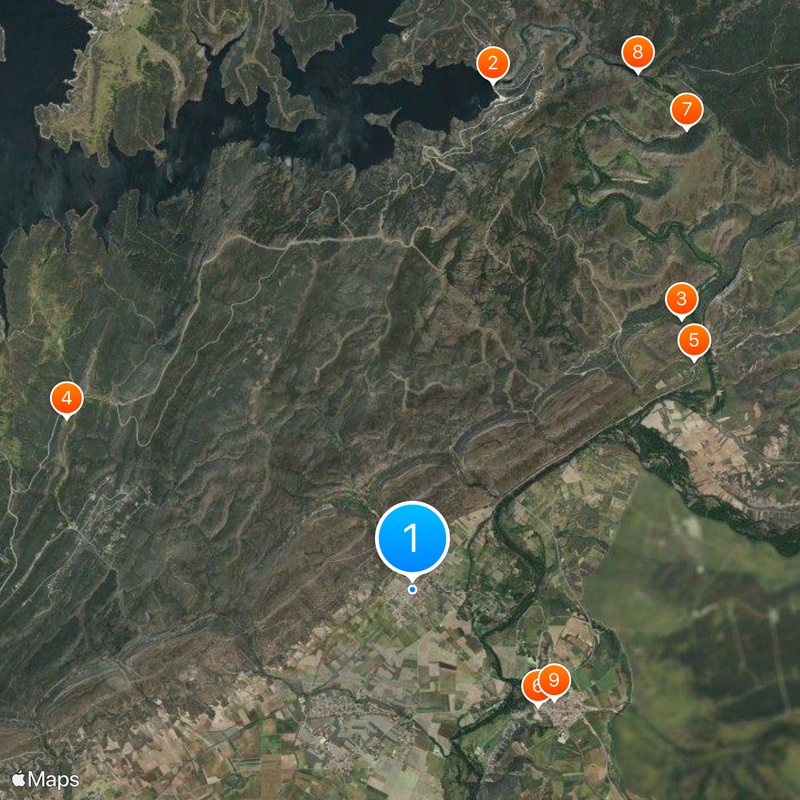
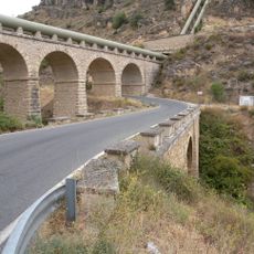
The municipality sits about 60 kilometers north of Madrid and is reachable by car or public transport. The lower area has parking and basic services, making it a good starting point for exploring the upper village on foot.
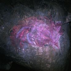
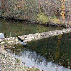
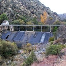
Nearby lies the Cueva del Reguerillo, a significant cave containing Paleolithic artifacts that rank among the most important archaeological finds in the Madrid region. Public access has been restricted since 2008 to protect the site.
Location: Community of Madrid
Capital city: Patones de Abajo
Elevation above the sea: 718 m
Part of: Mancomunitat «Alto Jarama», Mancomunitat de Serveis Culturales de la Sierra Norte de Madrid, Mancomunidad de Servicios Sociales «Sierra Norte», Mancomunitat del Embalse del Atazar
Shares border with: Valdepeñas de la Sierra, Uceda, Torremocha de Jarama, El Berrueco, Cervera de Buitrago, El Atazar
Website: https://patones.net
GPS coordinates: 40.85472,-3.48528
Latest update: December 6, 2025 22:04
El Atazar Reservoir
7 km
Pontón de la Oliva
5 km
El Atazar Dam
6.4 km
Cave of El Reguerillo
4.8 km
Church of la Magdalena
5.3 km
Watchtower of El Berrueco
4.8 km
Hermitage of Virgen de la Oliva, Patones
4.6 km
Church of Santa María de la Varga
2.1 km
Watchtower of Arrebatacapas
7.3 km
Azud de Navarejos
6.7 km
Azud de La Parra
7.1 km
Church of San Pedro
2.3 km
Tower of Mirabel
8.8 km
Church of the Assumption, El Cubillo de Uceda
7.6 km
Church of Nuestra Señora de la Varga
2.2 km
Torrelaguna Town Hall
5.4 km
Convent of Carmelitas
5.3 km
Uceda Town Hall
2.2 km
Castle of Uceda
2 km
Tower of Torritón
5.6 km
Pontón de la Oliva Reservoir
5 km
Wall of Uceda
2.4 km
Franciscan Convent
5.6 km
Palacio de Arteaga, Torrelaguna
5.5 km
Cárcavas de Alpedrete
6.5 km
Conjunto Histórico Artístico del la Villa de Torrelaguna
5.4 km
Conjunto Histórico de Patones
1.4 km
Picota de El Berrueco
7.4 kmReviews
Visited this place? Tap the stars to rate it and share your experience / photos with the community! Try now! You can cancel it anytime.
Discover hidden gems everywhere you go!
From secret cafés to breathtaking viewpoints, skip the crowded tourist spots and find places that match your style. Our app makes it easy with voice search, smart filtering, route optimization, and insider tips from travelers worldwide. Download now for the complete mobile experience.
A unique approach to discovering new places❞
— Le Figaro
All the places worth exploring❞
— France Info
A tailor-made excursion in just a few clicks❞
— 20 Minutes