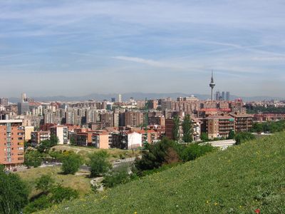
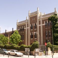
Puente de Vallecas, Administrative district in southern Madrid, Spain.
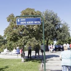
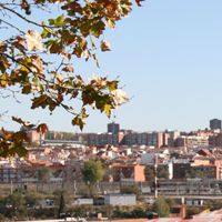
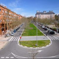
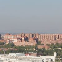
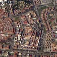
Puente de Vallecas is a district in southern Madrid comprising six separate neighborhoods that together form a residential area. The terrain sits at about 633 meters elevation and is defined by major roads and public spaces that connect the different sections.
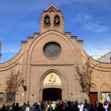
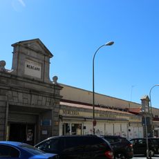
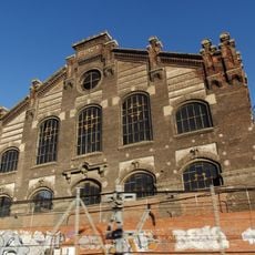
The district took shape during Madrid's industrial expansion in the early 1900s, when outlying settlements were integrated into the growing city. This transformation created the foundation for the current residential area.
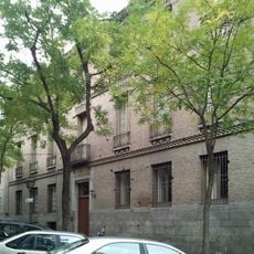
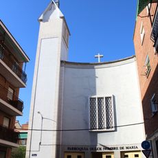
The six neighborhoods here each have their own community centers where locals gather and organize activities together. Over time, each area developed its own character and role in how residents live.
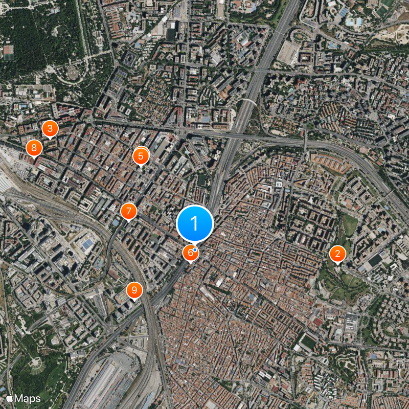
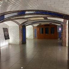
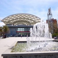
Getting around is straightforward thanks to multiple metro stations and bus routes connecting this area to central Madrid. If you need to handle official matters, administrative offices are located at Calle Sierra Salvada 6.
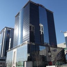
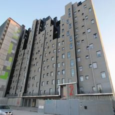
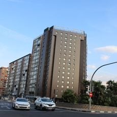
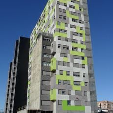
The district stands out for having one of the highest population densities in Madrid, housing many residents within a relatively compact space. This density shapes how the area looks and feels in daily life.
Location: Madrid
Inception: July 1, 1988
Elevation above the sea: 633 m
Shares border with: Moratalaz, Arganzuela, Retiro, Vicálvaro, Villa de Vallecas, Villaverde, Usera
GPS coordinates: 40.39820,-3.66906
Latest update: December 6, 2025 22:04
Park of the Hill of Uncle Pius
1.1 km
Royal Tapestry Factory
1.4 km
Platform 0
794 m
Pacífico Power Plant
783 m
Church of San Ramón Nonato
107 m
E.M.T. headquarters, Madrid
567 m
La Neomudéjar
1.5 km
Torre Suecia
618 m
Puerta de Dante, Retiro
1.5 km
Museo del Metro Nave de Motores de Pacífico
777 m
Museo Municipal de Bomberos
1.4 km
Iglesia de Nuestra Señora de la Paz
950 m
Pacífico
645 m
Torre Ombú
732 m
Centro de Especialidades Hermanos Sangro
69 m
Edificio Retama 3
676 m
Méndez Álvaro Norte II
1.2 km
Claridge Hotel
889 m
Mercado de Puente de Vallecas, Madrid
352 m
Rectángulo real ilusorio
1.1 km
Méndez Álvaro Norte I
1.1 km
Edificio Retama 5
736 m
Edificio Retama 7
800 m
Obispo Alberto Iniesta Gardens
1.4 km
Iglesia del Dulce Nombre de María, Madrid
1 km
Arnaiz headquarters
1.2 km
Colegio Oficial de A.T.S. y Diplomados en Enfermería, Madrid
1.3 km
Sociedad de Gasificación Industrial del Cerro de la Plata
673 mReviews
Visited this place? Tap the stars to rate it and share your experience / photos with the community! Try now! You can cancel it anytime.
Discover hidden gems everywhere you go!
From secret cafés to breathtaking viewpoints, skip the crowded tourist spots and find places that match your style. Our app makes it easy with voice search, smart filtering, route optimization, and insider tips from travelers worldwide. Download now for the complete mobile experience.
A unique approach to discovering new places❞
— Le Figaro
All the places worth exploring❞
— France Info
A tailor-made excursion in just a few clicks❞
— 20 Minutes