Enable Location

We need your location to show you interesting places around you

Discover nearby places

Find interesting locations and hidden gems around you

Precise directions

Get accurate directions and distances to places

Your location is never shared with other users. It's only used when you tap the location button.

Sierra de Javalambre

Log in to your account

Start exploring — it's free

Trusted by 62,852 travelers worldwide

Continue with Google
Continue with Apple
or

We will send you a code to connect

By continuing, you accept our Terms and Conditions and our Privacy Policy

Check your inbox

We've sent a pincode in your inbox. Please enter the code below.

Sierra de Javalambre

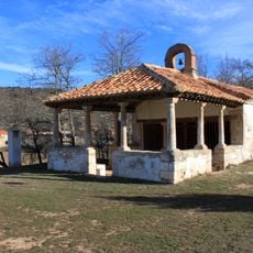
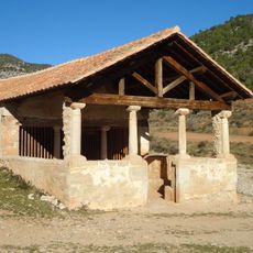
Sierra de Javalambre, Mountain summit in Gúdar-Javalambre, Spain.

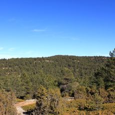
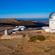
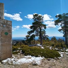
Sierra de Javalambre is a mountain range spanning across the eastern section of the Iberian System, with its highest point reaching 2,020 meters in elevation. The terrain includes a ski resort operated by Aramón that maintains trails for winter sports, while the Buitre summit hosts an astronomical research facility.

The mountain's name derives from Arabic origins, tracing back to the Moorish period when the region was under different rule. This linguistic heritage reflects the long-term cultural influences that shaped the area's identity over centuries.

The Astrophysical Observatory on the Buitre summit operates as a working research center where scientists study the stars and conduct their observations. Visitors notice how this facility marks the area as a place dedicated to scientific discovery and understanding the night sky.

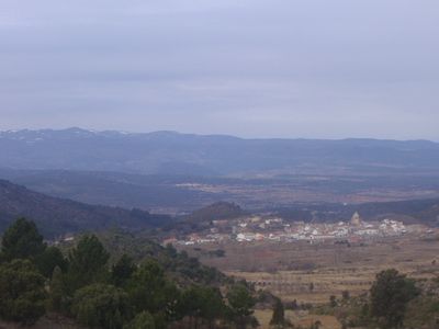
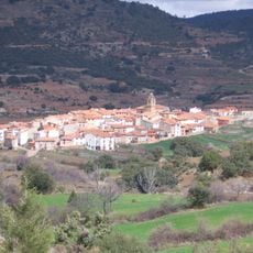
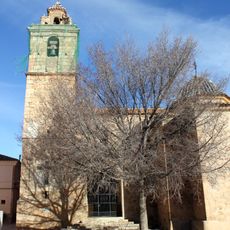
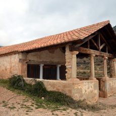
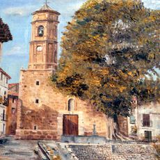
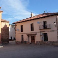
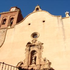
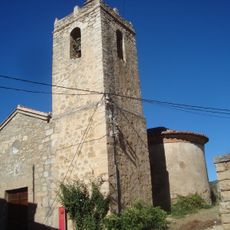
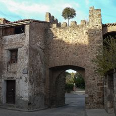
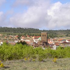
The mountain is accessed via the towns of La Puebla de Valverde and Riodeva, which serve as gateway points for visitors approaching the area. Conditions at higher elevations are colder and windier, and winter brings significant snow that can affect travel on the higher sections.

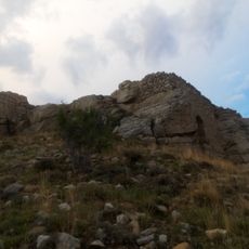
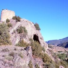
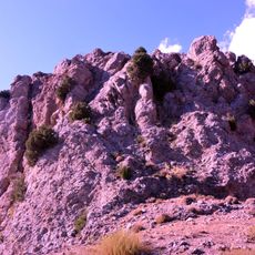
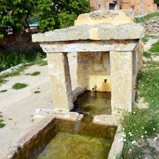
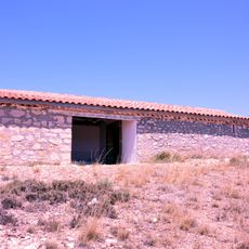
The mountain features a karstic geological formation from the Jurassic period, which created visible caves and fissures throughout the landscape. This geological characteristic makes the area noteworthy for visitors interested in earth sciences and how natural forces shape the land.

The community of curious travelers

AroundUs brings together thousands of curated places, local tips, and hidden gems, enriched daily by 60,000 contributors worldwide.

Start exploring
GPS coordinates
40.09700,-1.02476
Latest update
December 10, 2025 15:56
« Sierra de Javalambre - Mountain summit in Gúdar-Javalambre, Spain » is provided by Around Us (aroundus.com). Images and texts are derived from Wikimedia project under a Creative Commons license. You are allowed to copy, distribute, and modify copies of this page, under the conditions set by the license, as long as this note is clearly visible.

Discover hidden gems everywhere you go!

From secret cafés to breathtaking viewpoints, skip the crowded tourist spots and find places that match your style. Our app makes it easy with voice search, smart filtering, route optimization, and insider tips from travelers worldwide. Download now for the complete mobile experience.

Around Us App Screenshot

A unique approach to discovering new places

Le Figaro

All the places worth exploring

France Info

A tailor-made excursion in just a few clicks

20 Minutes

Around Us
Travel Guide & Maps
Download

Send to your phone

QR Code
1

Open the camera app on your mobile.

2

Point at the QR code with your camera. A notification will appear.

3

Tap the notification to open the link.