Cerro Calderón, Mountain summit in Rincón de Ademuz, Spain.
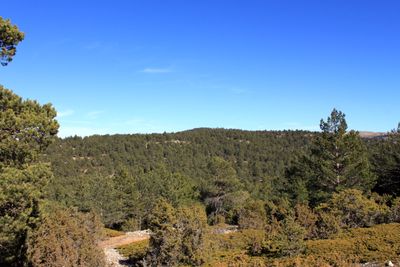
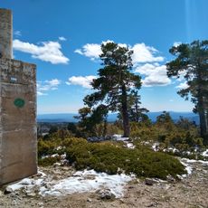
Cerro Calderón is a mountain summit in Rincón de Ademuz that rises to 1,837 meters with gently sloping terrain covered by vegetation. Pine trees, juniper bushes, and holly plants blanket the hillsides in a mixed woodland environment.
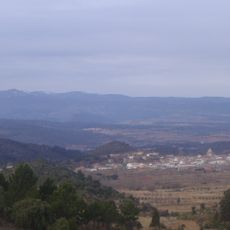
This peak marks the natural border between Valencia and Teruel provinces, a geographical boundary that has held importance in regional administration. The location gained significance as provinces were established, making it a defining landmark for the area.
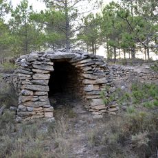
Local people have long gathered aromatic herbs from these slopes, especially in the early morning hours during the warmer months. This practice connects residents to the land and its natural bounty in a way that continues today.
The hiking trail to the summit is a round trip of moderate length that takes about four hours to complete, with water available at Fuente de la Canaleja along the way. Starting early in the day and wearing proper footwear helps ensure a comfortable experience on the mountain.
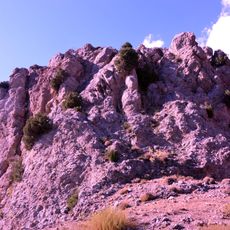
The summit area displays a remarkable pattern created by creeping juniper vegetation that forms natural geometric shapes resembling leopard skin. This visual effect results from how the plant sprawls across the rocky terrain in distinctive patches.
The community of curious travelers
AroundUs brings together thousands of curated places, local tips, and hidden gems, enriched daily by 60,000 contributors worldwide.