
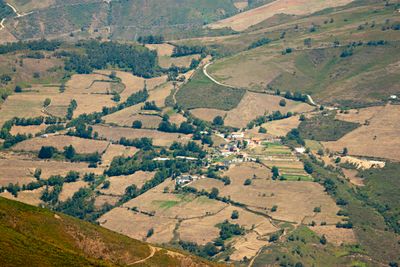
Viḷḷalái, parish (parroquia) in Cangas del Narcea, Asturias, Spain
Location: Cangas del Narcea
Elevation above the sea: 711 m
Shares border with: Ḷḷumés, Linares del Acebo, Carballo, Piñera, Viḷḷatexil
GPS coordinates: 43.12966,-6.50455
Latest update: March 23, 2025 18:37
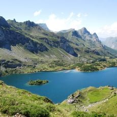
Somiedo Natural Park
24.1 km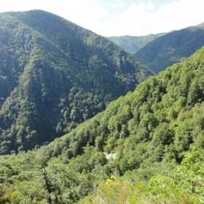
Muniellos
17.8 km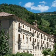
San Juan Bautista de Corias
7.9 km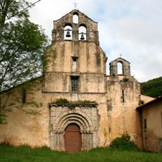
Monastery of Santa María la Real in Obona
23.5 km
Natural Park of Fuentes del Narcea, Degaña e Ibias
11.3 km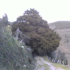
Tejo de Santa Coloma
25.8 km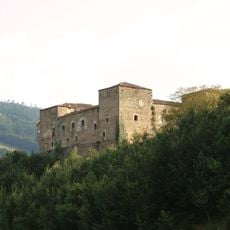
Palace of Cienfuegos de Peñalba
18.3 km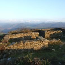
Castro de San Chuis
13.6 km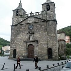
Colegiata de Santa María Magdalena
6.5 km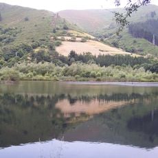
Embalse de La Florida
19.2 km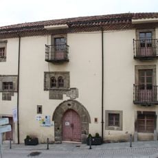
Palacio de los García, Tineo
24 km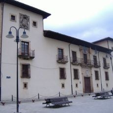
Palace of Toreno (Cangas del Narcea)
6.3 km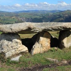
Dolmen of Merillés (Tineo)
20.1 km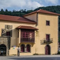
Palacio de Omaña
6.5 km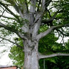
Fayona de Eiros
14.3 km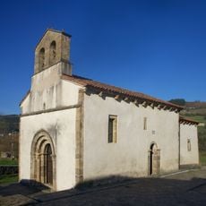
Church of Santa María de Celón
13.9 km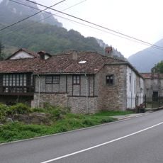
Palacio del Cardenal Cienfuegos
22.9 km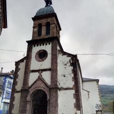
Church of Saint Andrew
18 km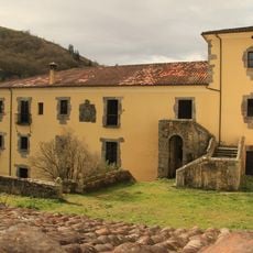
Palacio de los Omaña
13.8 km
Historical site of Cangas del Narcea
6.4 km
Tower of Valledor (Allande)
22.5 km
Church of Santa María (Cerredo)
20.4 km
Tejo de Lago
22.9 km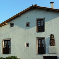
Casa del General Riego
19.4 km
Dolmen of Baradal (Tineo)
24.6 km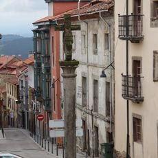
Historical site of Tineo
23.9 km
Hospital Mater Christi of Tineo
24 km
Field of church of Santa Coloma (Allande)
25.7 kmReviews
Visited this place? Tap the stars to rate it and share your experience / photos with the community! Try now! You can cancel it anytime.
Discover hidden gems everywhere you go!
From secret cafés to breathtaking viewpoints, skip the crowded tourist spots and find places that match your style. Our app makes it easy with voice search, smart filtering, route optimization, and insider tips from travelers worldwide. Download now for the complete mobile experience.

A unique approach to discovering new places❞
— Le Figaro
All the places worth exploring❞
— France Info
A tailor-made excursion in just a few clicks❞
— 20 Minutes