
Argüelles, village in Siero (Asturias)
Location: Siero
Elevation above the sea: 192 m
Shares border with: Samartindianes, San Miguel de la Barreda, Tiñana, Noreña, Hevia
GPS coordinates: 43.38926,-5.72711
Latest update: March 6, 2025 21:12

San Julián de los Prados
9.2 km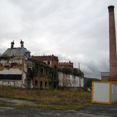
Fábrica de cerveza El Águila Negra
5.3 km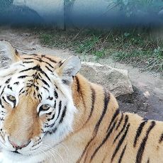
Núcleo Zoológico el Bosque
8.1 km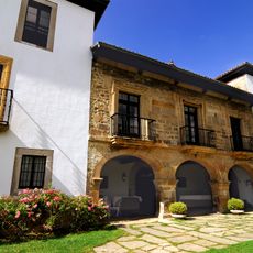
Palace of Meres
2.4 km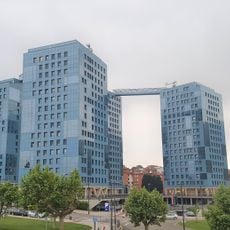
Montenuño
8.7 km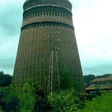
Nitrastur factory, Langreo
8.7 km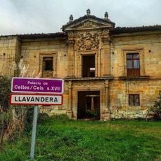
Palace of the Tower of Celles
4.7 km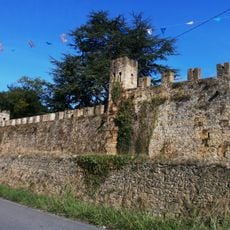
Palace of Valdesoto
6.3 km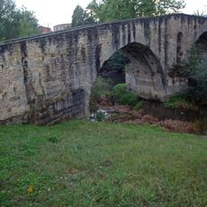
Colloto Roman Bridge
5.1 km
Estadio El Bayu
5.4 km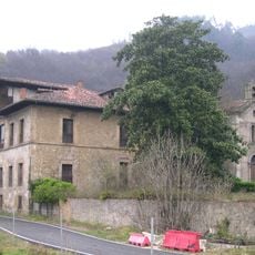
Palace of Camposagrado (Langreo)
6.7 km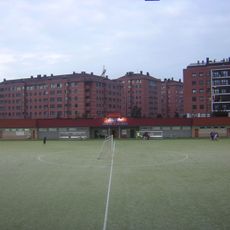
Estadio Díaz Vega
7.3 km
Mojón de la media legua
7.6 km
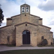
Church of San Martín
26 m
Mercado de La Felguera
9.4 km
Las Matas (posición fortificada)
6.9 km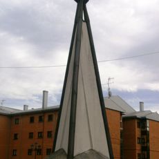
La Paz
7.2 km
Palomas
9.2 km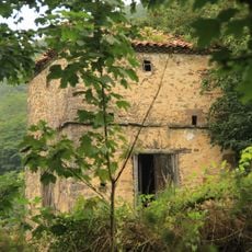
Tower of Villa (Riaño)
6.7 km
Llama Olímpica
8.8 km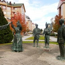
Homenaje al folklore asturiano y a Juanín de Mieres
7.9 km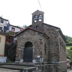
Church of Santa María Magdalena, La Rebollada
8.5 km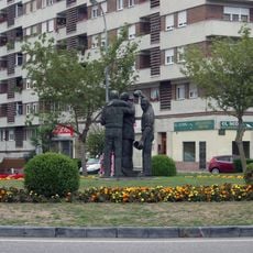
A la Toná
9.1 km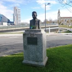
Bust of Juan Antonio Álvarez Rabanal
8.6 km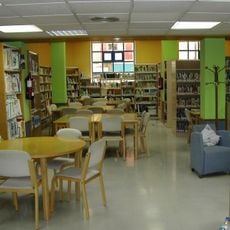
Biblioteca Pública Municipal de Pumarín - Sara Suárez Solís
9.4 km
Biblioteca Pública Municipal de Carbayín - Fray Bernardo Martínez
8.7 km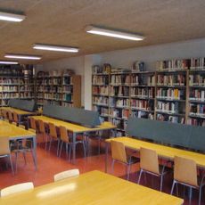
Biblioteca Pública Municipal de El Berrón
7 km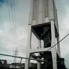
Torre de extracción del pozo Candín I
9.4 kmVisited this place? Tap the stars to rate it and share your experience / photos with the community! Try now! You can cancel it anytime.
Discover hidden gems everywhere you go!
From secret cafés to breathtaking viewpoints, skip the crowded tourist spots and find places that match your style. Our app makes it easy with voice search, smart filtering, route optimization, and insider tips from travelers worldwide. Download now for the complete mobile experience.

A unique approach to discovering new places❞
— Le Figaro
All the places worth exploring❞
— France Info
A tailor-made excursion in just a few clicks❞
— 20 Minutes