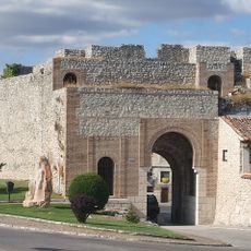
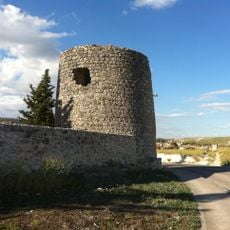
El Carracillo, Agricultural comarca in Segovia Province, Spain
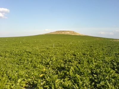
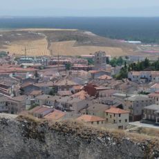
El Carracillo is an agricultural area in Segovia Province that spreads between two rivers and is defined by sandy, permeable soils. The region contains multiple small municipalities and relies on irrigation systems to support year-round vegetable production in this landscape.
The region underwent major change in the 1970s when irrigation systems replaced older farming methods, transforming the local economy. This shift brought rapid development and established the area as a significant center for fruit and vegetable production.
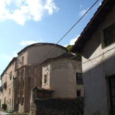
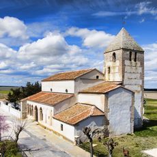
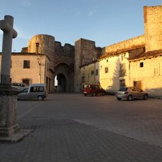
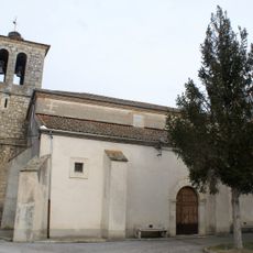
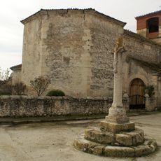
The people here have built their lives around fruit and vegetable farming, which shapes how the communities work and relate to the land. You can see this focus reflected in the patchwork of cultivated fields and in how the villages organize their rhythms around the growing season.
The best time to visit is during the growing season when the fields are fully cultivated and local villages show their working rhythms. Having a car helps you explore the different municipalities and see how the irrigation systems support the patchwork of fields across the area.
Beneath this area lies the Arenales aquifer, an underground water reserve that makes year-round vegetable farming possible despite the naturally dry sandy soil. This hidden water source is what allows farming to thrive here in ways that would not be possible without it.
The community of curious travelers
AroundUs brings together thousands of curated places, local tips, and hidden gems, enriched daily by 60,000 contributors worldwide.