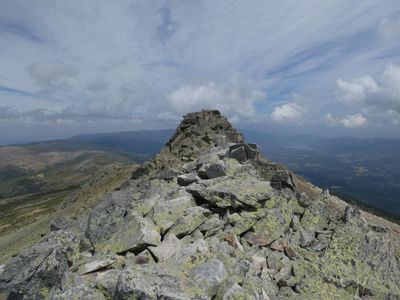
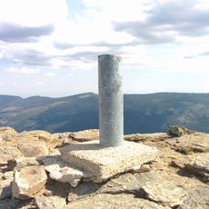
Risco de los Claveles, Mountain summit in Sierra de Guadarrama, Spain
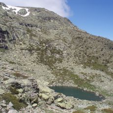
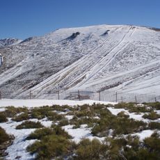
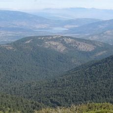
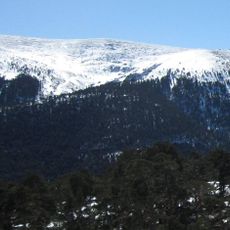
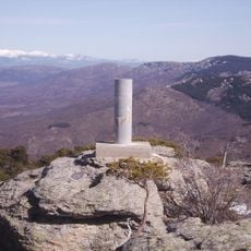
Risco de los Claveles is a mountain summit in the Sierra de Guadarrama that rises to about 2,387 meters (7,831 feet) and features dramatic granite formations and steep slopes. The peak displays the characteristic rocky terrain and exposed ridges found throughout this central Spanish mountain range.
The peak served as a natural boundary between the provinces of Segovia and Madrid, marking administrative divisions throughout central Spain's history. This geographical position made it an important reference point for territorial organization over the centuries.
The name translates to Carnation Crag, reflecting how Spanish communities have historically named peaks after plants found in these high-altitude regions. This poetic naming custom reveals how people connect landscapes to nature.
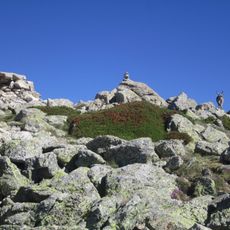
Several established hiking trails lead to the summit with varying levels of difficulty for different fitness levels. Weather conditions in the mountains can change quickly, so visitors should bring proper gear and plenty of water.
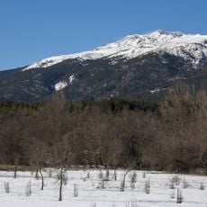
The peak draws most visitors during summer months when weather conditions are at their most favorable for mountain pursuits. This seasonal pattern reveals how climate directly shapes when people venture to high altitudes in the range.
The community of curious travelers
AroundUs brings together thousands of curated places, local tips, and hidden gems, enriched daily by 60,000 contributors worldwide.