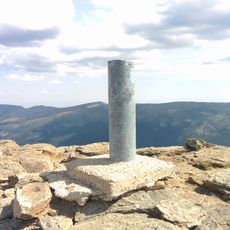
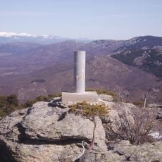
Cerro de Valdemartín, Mountain summit in Sierra de Guadarrama, Spain
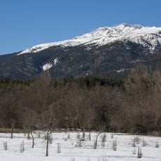
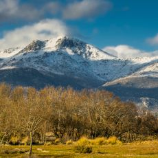
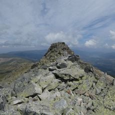
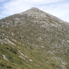
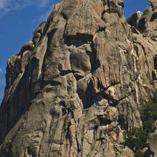
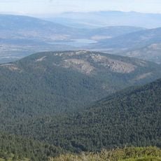
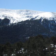
Cerro de Valdemartín is a rounded peak that rises to 2,282 meters and stands as the second highest summit of Cuerda Larga. Its shape and height make it visible from distant viewpoints across the mountain range.
The mountain has served as a natural boundary between the municipalities of Manzanares el Real and Rascafría for centuries. This geographic position shaped territorial divisions and local administrative arrangements over time.
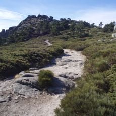
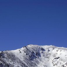
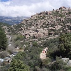
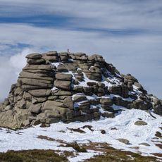
The peak lies in a region where hiking and skiing have long shaped how local people spend their leisure time. The natural setting draws visitors from Madrid who come to experience the mountain landscape and outdoor activities.
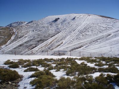
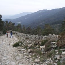
Hikers can reach the summit on marked trails that begin from the Valdesquí ski station parking area, which sits at around 1,860 meters elevation. The route follows a southeastern path covering roughly three kilometers.
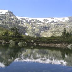
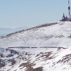
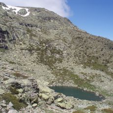
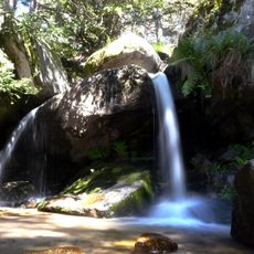
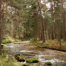
The southwestern slope holds the Ventisquero de la Condesa at around 2,000 meters elevation, where multiple springs emerge from the ground. These springs mark the source of the Manzanares River and create an important hydrological point in the landscape.
The community of curious travelers
AroundUs brings together thousands of curated places, local tips, and hidden gems, enriched daily by 60,000 contributors worldwide.