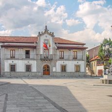
Fuenfría Roman road, Roman road in Sierra de Guadarrama, Spain.
Description
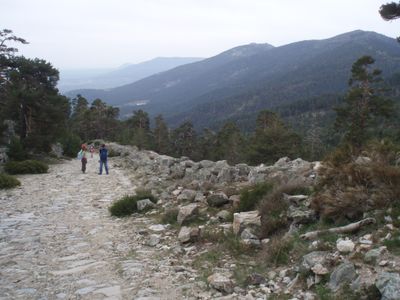
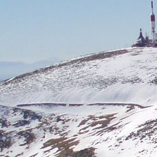
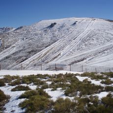
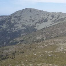
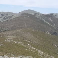
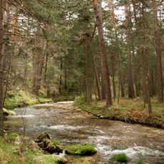
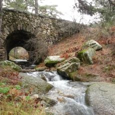
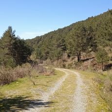
The Fuenfría Roman road is an ancient stone-paved route that runs through the Sierra de Guadarrama mountains. The path connects Madrid and Segovia at an elevation of approximately 1,800 meters and extends for about 25 kilometers between Revenga and La Fuenfría.
History
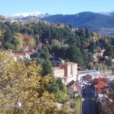
The Romans built this route as a major connection between the northern and southern parts of the Iberian Peninsula. After the Navacerrada Pass opened in 1788, the road lost importance and gradually fell out of regular use.
Culture
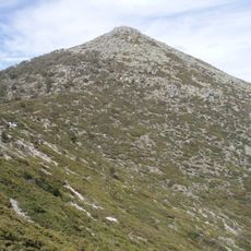
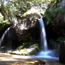
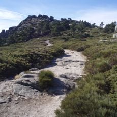
The path today functions as a hiking route where visitors walk through mountain scenery and feel the ancient stones beneath their feet. The setting shows how people have used this passage for centuries to travel between regions.
Practical
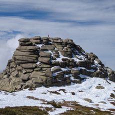
Visitors can only explore this route on foot, as motor vehicles are not permitted. It is advisable to wear sturdy shoes and bring weatherproof clothing, as the terrain is mountainous and conditions can be variable.
Did you know?
The route displays an impressive average gradient of 10 percent, demonstrating the advanced engineering skill of the Romans in building sustainable mountain paths. This consistent slope shows how ancient builders managed challenging terrain.
AroundUs brings together thousands of curated places, local tips, and hidden gems, enriched daily by 60,000 contributors worldwide. Discover all places nearby (Segovia Province).
Guadarrama National Park
6.6 km
Bola del Mundo
6.8 km
La Maliciosa
8.1 km
Ventisquero de la Condesa
7.2 km
Embalse de Navacerrada
9 km
Montón de Trigo
1.6 km
Waterfall of Ducha de los Alemanes
706 m
Cerro de Valdemartín
8.3 km
Peña del Oso
4.1 km
La Pinareja
3.7 km
Alto del Telégrafo
3.9 km
Reservoir of Puente Alta
8.6 km
Sierra Norte de Guadarrama Natural Park
8.6 km
Centro de Visitantes del Valle de la Fuenfría
3.5 km
Church of Nuestra Señora de las Nieves
7.5 km
Iglesia de San Sebastián, Cercedilla
5 km
Town Hall of Los Molinos
8.2 km
Bridge of Descalzo
1.5 km
Residencia de Navacerrada
4.9 km
Iglesia de la Concepción de Nuestra Señora, Los Molinos
8.2 km
Plaza de toros de Cercedilla
5.4 km
Real Sitio de San Ildefonso-El Espinar
3.2 km
Plaza de toros de Navacerrada
7.9 km
Biblioteca Municipal de Cercedilla
5.3 km
Vado de las Cabras dam
3.2 km
Ermita de San José, Los Molinos
8.6 km
Siete Picos
2.5 km
El Espinar Reservoir
3.2 kmDiscover hidden gems everywhere you go!
From secret cafés to breathtaking viewpoints, skip the crowded tourist spots and find places that match your style. Our app makes it easy with voice search, smart filtering, route optimization, and insider tips from travelers worldwide. Download now for the complete mobile experience.
A unique approach to discovering new places❞
— Le Figaro
All the places worth exploring❞
— France Info
A tailor-made excursion in just a few clicks❞
— 20 Minutes