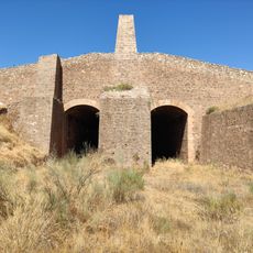
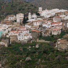
Tetica de Bacares, Mountain summit in Sierra de los Filabres, Almería, Spain
Tetica de Bacares is a mountain summit in the Sierra de los Filabres with an elevation of 2,088 meters (6,850 feet). The peak stands as one of the easternmost points of the Penibaetic System and allows hikers to approach from multiple directions.
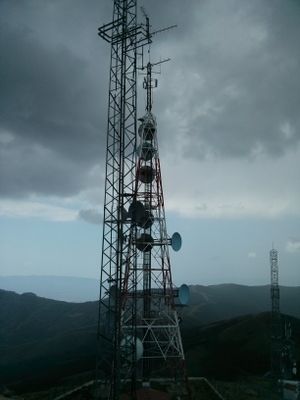
The mountain served as a crucial point for geodetic measurements in 1878 between Europe and Africa. Engineer Carlos Ibanez de Ibero spent two months at the summit establishing measurement connections to surveys in Algeria.
The mountain, previously known as Cerro de Nímar, stands as a first-order geodetic vertex, essential for mapping and surveying the entire region.
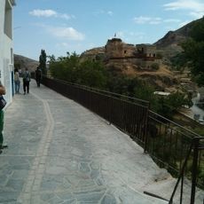
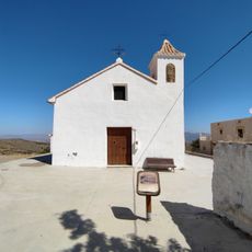
The summit is accessible through marked hiking trails starting from nearby villages in different directions. These routes offer varying difficulty levels and approach options for visitors.
The mountain presents a topographic prominence of 225 meters and maintains an altimetric dominance of 79.97 percent in the surrounding landscape.
The community of curious travelers
AroundUs brings together thousands of curated places, local tips, and hidden gems, enriched daily by 60,000 contributors worldwide.